SP
‘Selva de Pedra.’


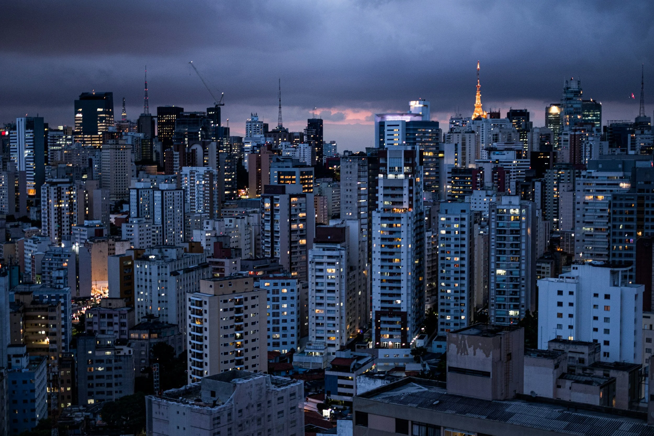
São Paulo, in Brazil, has developed into the major region of Greater São Paulo on a plateau beyond the Serro do Mar.
It is situated inland from the port of Santos on the southern Atlantic seaboard.
With extensive urbanisation pressures of both formal high rise and informal scattered housing, the city has grown into an enormous megalopolitan agglomeration.

Maps of São Paulo
Overview
Streets and Networks
Satellite View
All maps above provided courtesy of Google Maps.
Population Density
Visualising population density in Global Cities
This interactive map shows population density in 2020, measured in residents per square kilometre.
The data is from the ‘Global Human Settlement Layer’ (GHSL) 2023, produced by the European Commission JRC and the ‘Center for International Earth Science Information Network’ at Columbia University using earth sensing data from the European Copernicus Space Program that Integrates high volumes of satellite data with national census data.
The GHSL describes the settlement geography of the entire globe and has applications for a wide range of research and policy issues related to urban growth, development and sustainability.
Map provided courtesy of LuminoCity3D.org.
Rail Networks
Rail and transport networks in Global Cities
The above map represents the urban metro and light rail network of the city and immediate suburbs. This shows individual rail routes and the level of connectivity for urban travellers across the expanding city’.
Map provided courtesy of UrbanRail.net.
Journals
17. São Paulo + extract (Elizabeth Johnson)

‘Upon arrival, the modern city of São Paulo is perceived as one of the most strikingly dense vertical cities in the world. With skyscrapers built on seemingly every available piece of land, whether flat or sloping, they rise skywards at increasing density.’