BAR
‘Ciutat Cumtal.’


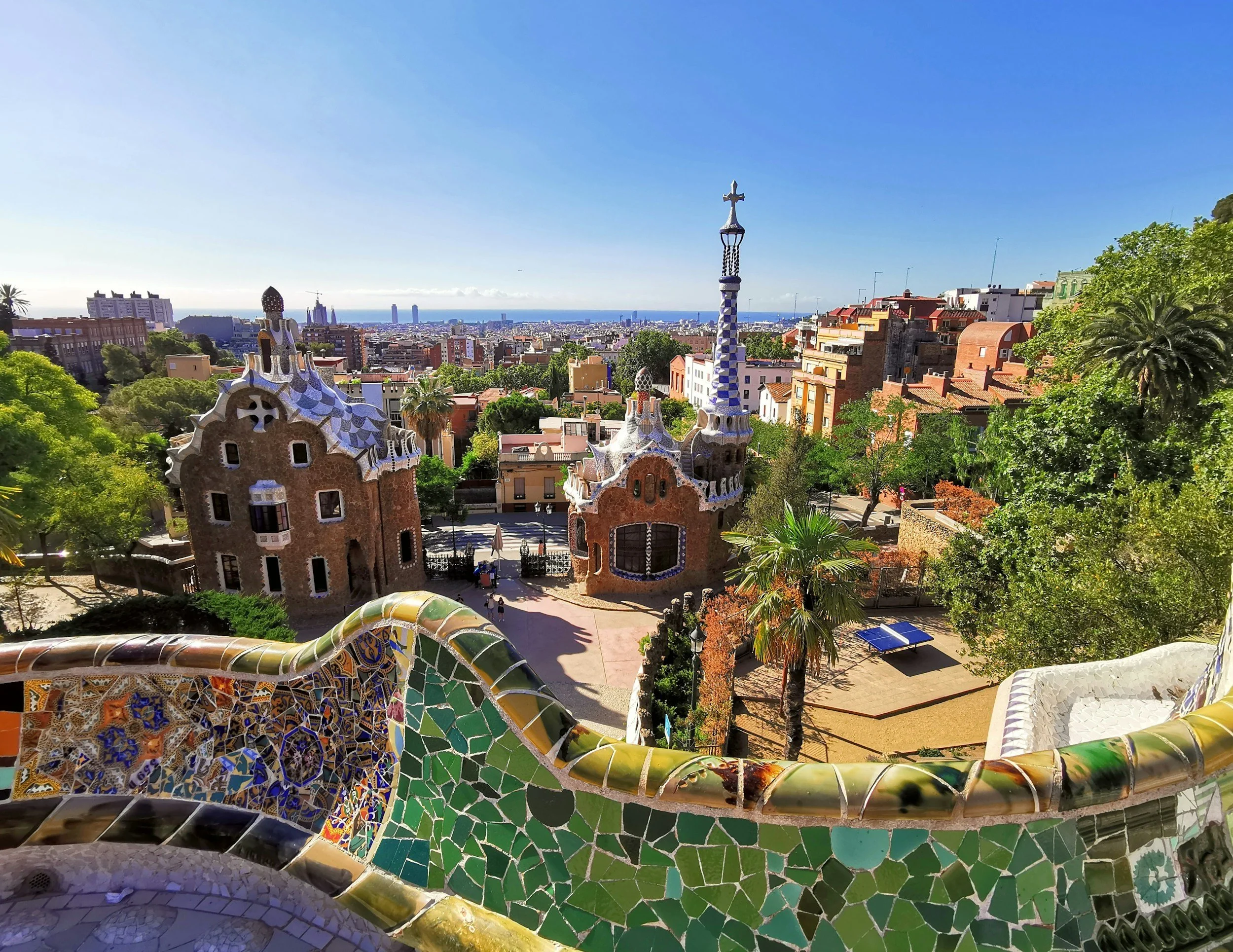
Barcelona, located on the Mediterranean coast is the autonomous capital of Catalonia, seat of the Government of Catalunya.
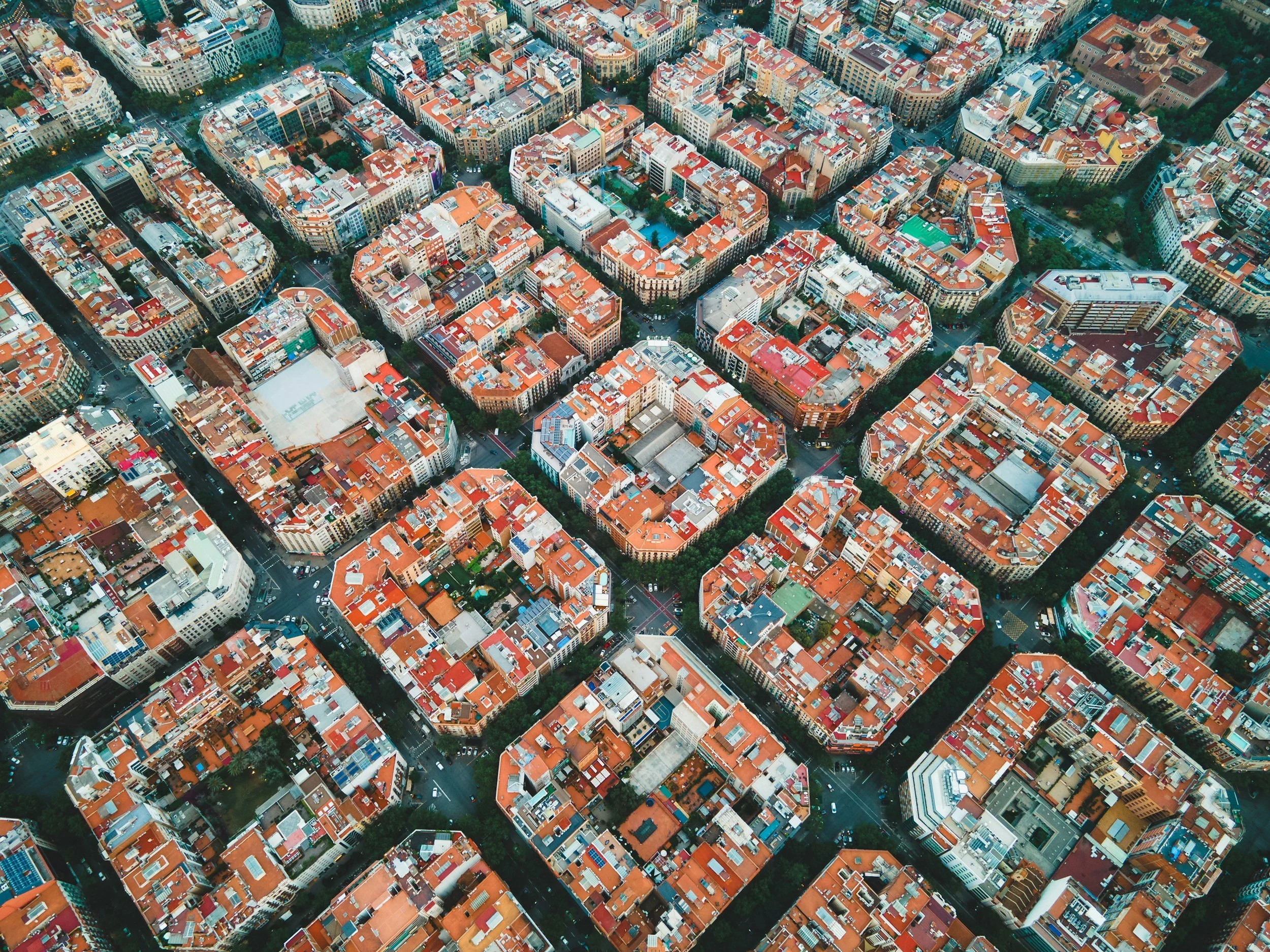
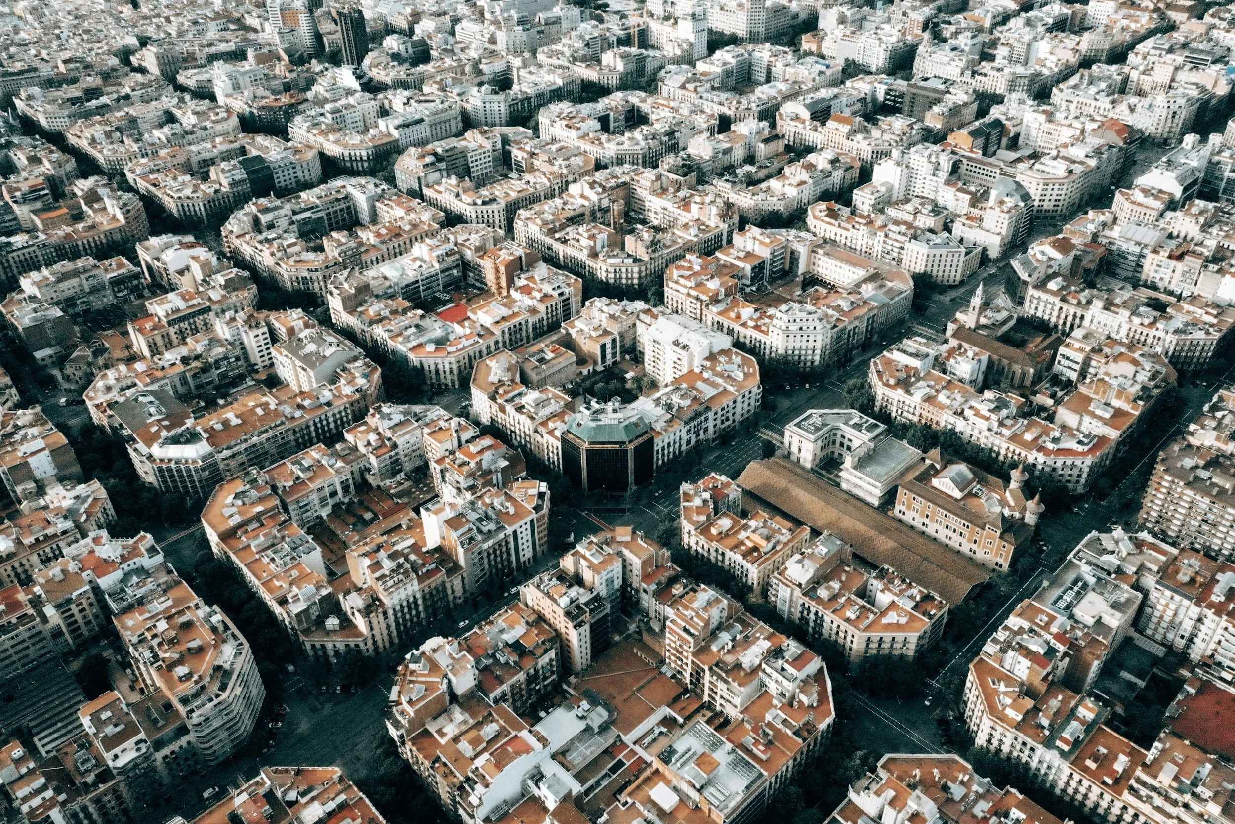
The rising escarpment of Montjuic overlooks the harbour with the regenerated port area and the Eixample area to the east.
A proud city with ancient Roman origins, Gothic and Modernista design movements, it is a vibrant modern popular Iberian destination close to the Pyrenees.

Maps of Barcelona
Overview
Streets and Networks
Satellite View
All maps above provided courtesy of Google Maps.
Population Density
Visualising population density in Global Cities
This interactive map shows population density in 2020, measured in residents per square kilometre.
The data is from the ‘Global Human Settlement Layer’ (GHSL) 2023, produced by the European Commission JRC and the ‘Center for International Earth Science Information Network’ at Columbia University using earth sensing data from the European Copernicus Space Program that Integrates high volumes of satellite data with national census data.
The GHSL describes the settlement geography of the entire globe and has applications for a wide range of research and policy issues related to urban growth, development and sustainability.
Map provided courtesy of LuminoCity3D.org.
Rail Networks
Rail and transport networks in Global Cities
The above map represents the urban metro and light rail network of the city and immediate suburbs. This shows individual rail routes and the level of connectivity for urban travellers across the expanding city’.
Map provided courtesy of UrbanRail.net.
Journals
28. Barcelona + extract (Robert Hughes)
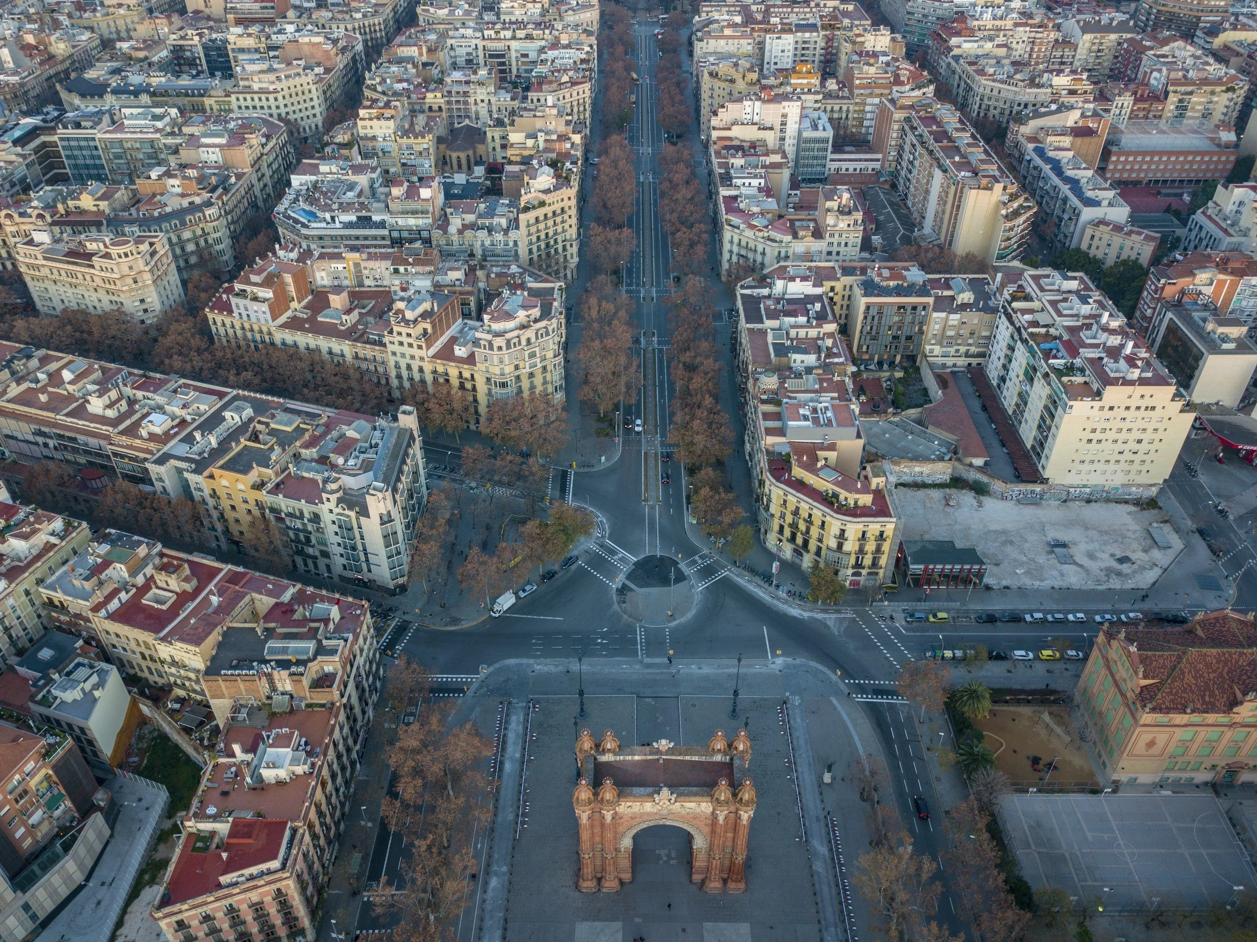
‘The major transformation of the city of Barcelona occurred in the mid 19th century. In response to a competition for a new town plan held by the Ajuntament of Barcelona, the Catalan engineer Ildefonso Cerdà drew up a plan for a grid layout of squares that enclosed the Old City.’