SHA
‘Magic City.’


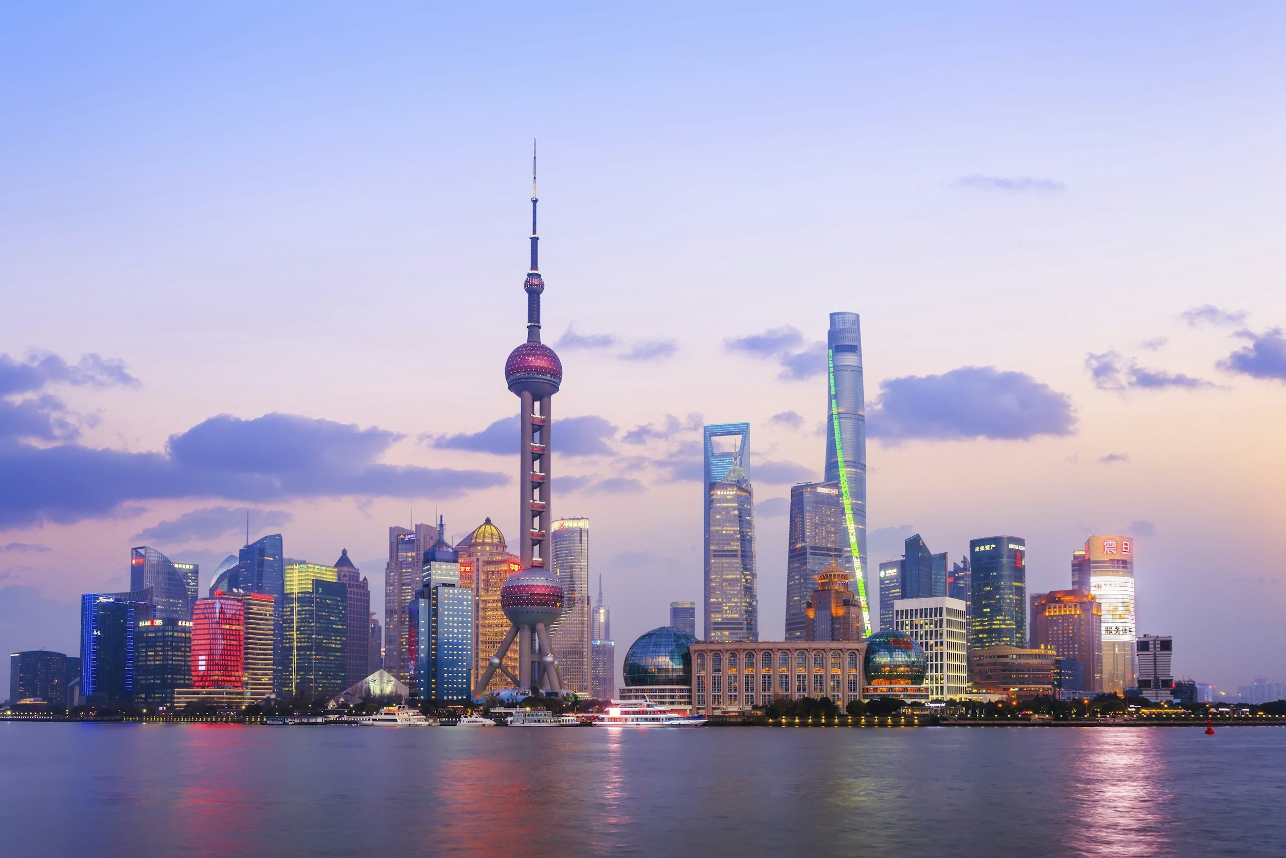
Shanghai was formerly a Chinese city with discrete international concessions.
This has been developed into the urbanised area of Shanghai and Pudong on either side of the River Huangpu.
Now developed as an enormous financial centre and with extensive industrial resources, it is continuing to expand alongside the estuary of the Yangtze River with its great container port and airport.
Such corresponding growth in population, services and industry has led to its expansion as major megalopolitan agglomeration.

Maps of Shanghai
Overview
Streets and Networks
Satellite View
All maps above provided courtesy of Google Maps.
Population Density
Visualising population density in Global Cities
This interactive map shows population density in 2020, measured in residents per square kilometre.
The data is from the ‘Global Human Settlement Layer’ (GHSL) 2023, produced by the European Commission JRC and the ‘Center for International Earth Science Information Network’ at Columbia University using earth sensing data from the European Copernicus Space Program that Integrates high volumes of satellite data with national census data.
The GHSL describes the settlement geography of the entire globe and has applications for a wide range of research and policy issues related to urban growth, development and sustainability.
Map provided courtesy of LuminoCity3D.org.
Rail Networks
Rail and transport networks in Global Cities
The above map represents the urban metro and light rail network of the city and immediate suburbs. This shows individual rail routes and the level of connectivity for urban travellers across the expanding city’.
Map provided courtesy of UrbanRail.net.
Journals
15. Shanghai + extract (John Gittings)

‘The visitor looks east across the Huangpu River to a skyline of skyscrapers and west down busy Nanjing Road to the People's Park – once the racecourse. The riverside Bund runs north past the notorious garden where the only Chinese allowed in semi-colonial times were nannies with their foreign wards. And it stretches south past the former headquarters the Hong Kong and Shanghai Bank towards.’