NAI
‘The Green City in the Sun.’


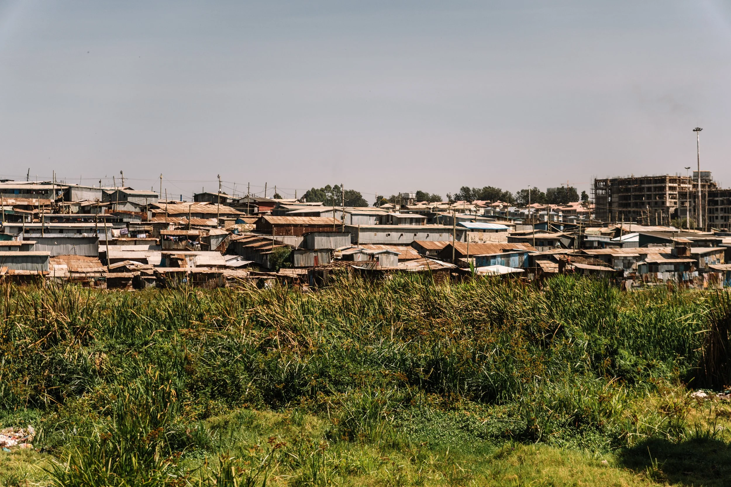
Nairobi is sited on an inland plateau in Kenya in the long Rift Valley in eastern Africa.
With its elevation and semi-arid climate, linked by rail to the coastal zone, it is increasingly urbanising as rural in-migration continues to rise and with higher birth rates.
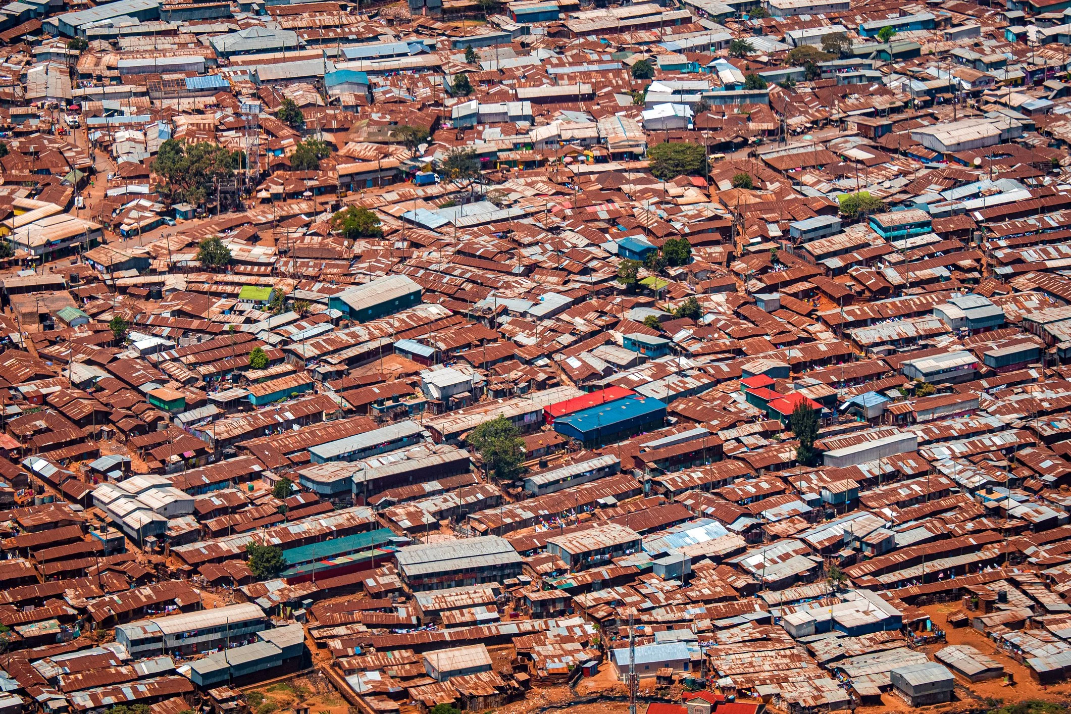
In consequence it has a very large informal sector with many areas of inadequate housing and services.

Maps of Nairobi
Overview
Streets and Networks
Satellite View
All maps above provided courtesy of Google Maps.
Population Density
Visualising population density in Global Cities
This interactive map shows population density in 2020, measured in residents per square kilometre.
The data is from the ‘Global Human Settlement Layer’ (GHSL) 2023, produced by the European Commission JRC and the ‘Center for International Earth Science Information Network’ at Columbia University using earth sensing data from the European Copernicus Space Program that Integrates high volumes of satellite data with national census data.
The GHSL describes the settlement geography of the entire globe and has applications for a wide range of research and policy issues related to urban growth, development and sustainability.
Map provided courtesy of LuminoCity3D.org.
Journals
20. Nairobi + extract (Karen Blixen)

‘The site of Nairobi on the equator was selected originally as a settlement at the turn of the 20th century when the British were developing a new railway line from Kenya to Uganda. By a small river before climbing the Limuru escarpment, having a good climate and with its higher elevation, the nature and surrounding environs of the Rift Valley of the emerging place were as broadly described in the opening words of Blixen’s ‘Out of Africa’’.