CDMX
‘The City of Palaces.’


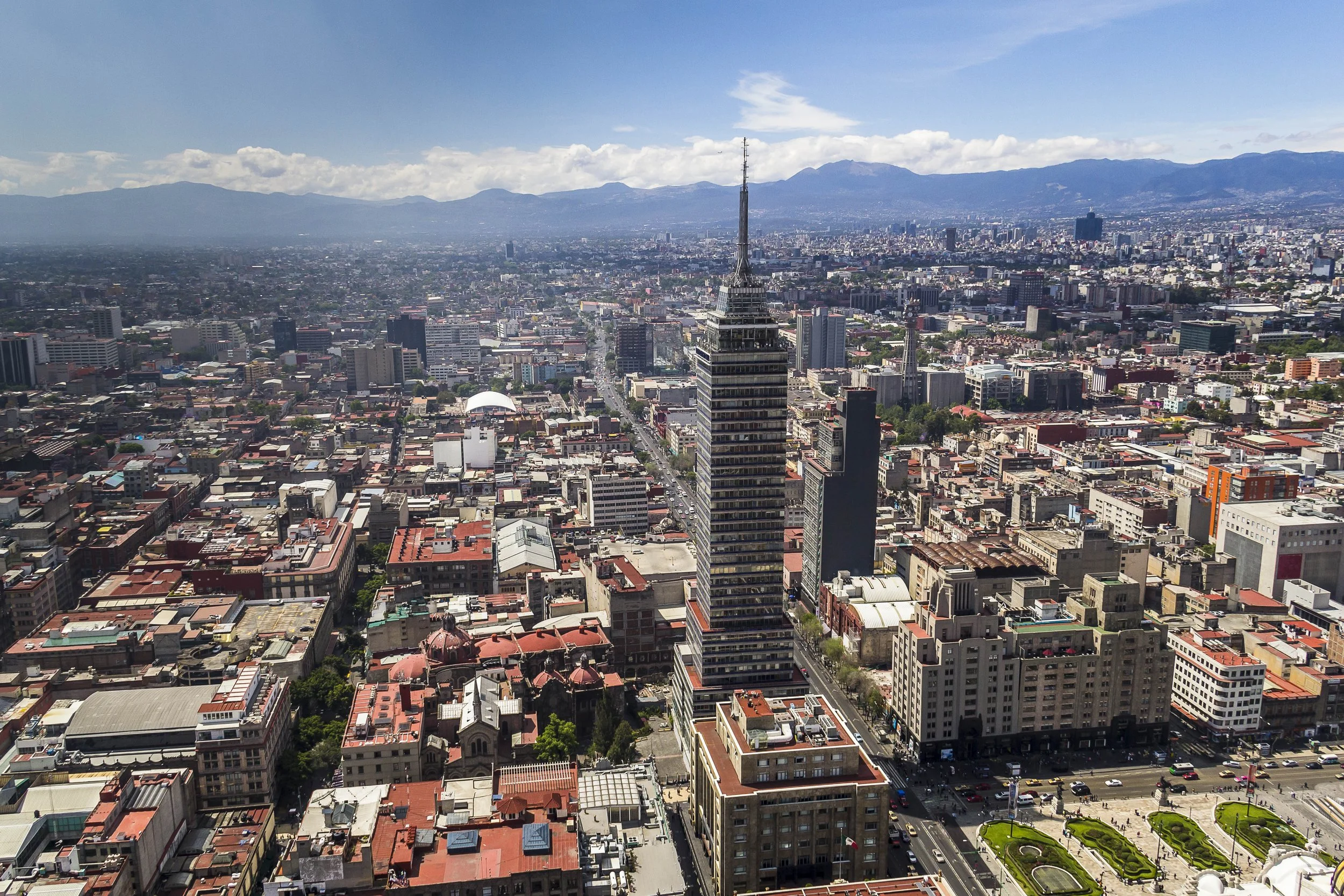
Mexico City has developed on a central plateau around the site of Tenochtitlan and former Lake Texcoco.
It has become a major urbanised area that contains the Federal District. Now the surrounding megalopolitan agglomeration of the capital Ciudad de Mexico (CDMX) has grown enormously to comprise the largest urbanised area in Central America.
Whilst partially planned, there are enormous informal areas that are extending outwards on the periphery and hilly areas beyond.

Maps of Mexico City
Overview
Streets and Networks
Satellite View
All maps above provided courtesy of Google Maps.
Population Density
Visualising population density in Global Cities
This interactive map shows population density in 2020, measured in residents per square kilometre.
The data is from the ‘Global Human Settlement Layer’ (GHSL) 2023, produced by the European Commission JRC and the ‘Center for International Earth Science Information Network’ at Columbia University using earth sensing data from the European Copernicus Space Program that Integrates high volumes of satellite data with national census data.
The GHSL describes the settlement geography of the entire globe and has applications for a wide range of research and policy issues related to urban growth, development and sustainability.
Map provided courtesy of LuminoCity3D.org.
Rail Networks
Rail and transport networks in Global Cities
The above map represents the urban metro and light rail network of the city and immediate suburbs. This shows individual rail routes and the level of connectivity for urban travellers across the expanding city’.
Map provided courtesy of UrbanRail.net.
Journals
5. Mexico City + extract (Hernán Cortés & Graham Greene)

‘It was in the 16th century that the Spanish conquistadors discovered and captured the original Aztec capital of Tenochtitlán, as reported by their leader Hernán Cortés to the King of Spain.’