LDN
‘The Big Smoke.’


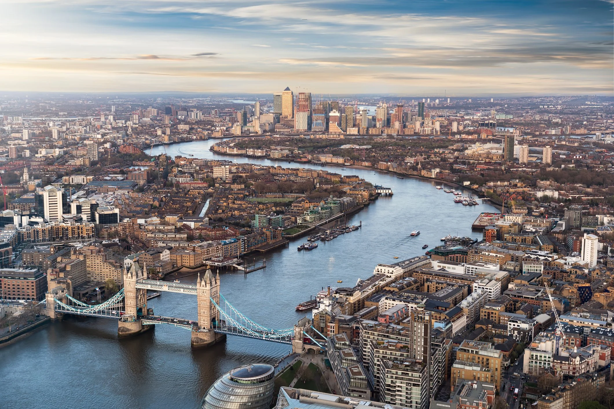
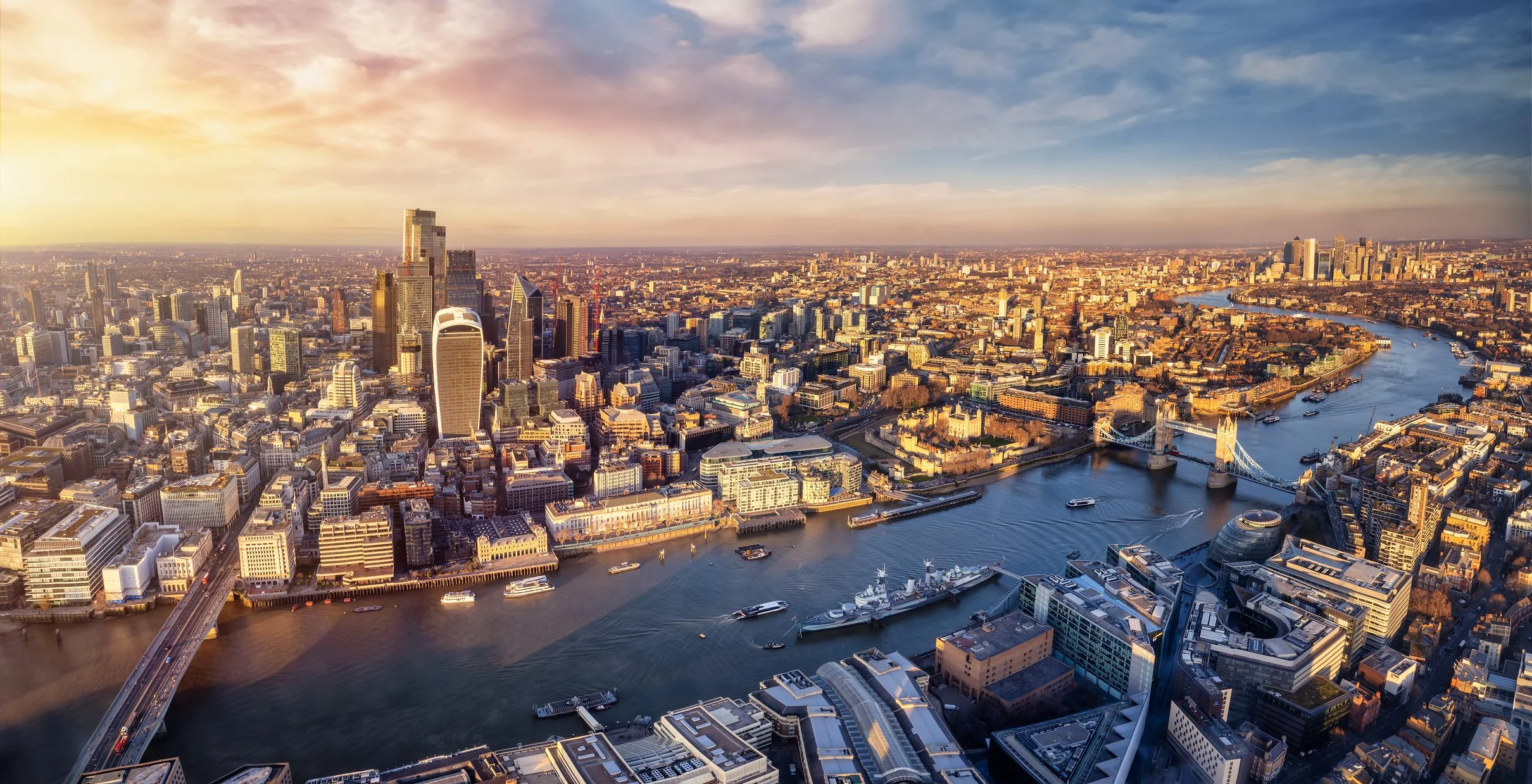
London is an historic city with the City of London (The Square Mile) and also incorporates both cities of Westminster and Southwark that developed around the estuary of the River Thames at a crossing point where population originally settled.
Due to its marine outlook, maritime trade developed with not only continental Europe but also beyond as its navy ensured protection of national shipping to trade with distant countries.
Upon this trade it developed its own markets, which with early industrialisation led to significant urbanisation and radial expansion.
It now constitutes the metropolitan agglomeration of Greater London surrounded by a green belt.

Maps of London
Overview
Streets and Networks
Satellite View
All maps above provided courtesy of Google Maps.
Population Density
Visualising population density in Global Cities
This interactive map shows population density in 2020, measured in residents per square kilometre.
The data is from the ‘Global Human Settlement Layer’ (GHSL) 2023, produced by the European Commission JRC and the ‘Center for International Earth Science Information Network’ at Columbia University using earth sensing data from the European Copernicus Space Program that Integrates high volumes of satellite data with national census data.
The GHSL describes the settlement geography of the entire globe and has applications for a wide range of research and policy issues related to urban growth, development and sustainability.
Map provided courtesy of LuminoCity3D.org.
Rail Networks
Rail and transport networks in Global Cities
The above map represents the urban metro and light rail network of the city and immediate suburbs. This shows individual rail routes and the level of connectivity for urban travellers across the expanding city’.
Map provided courtesy of UrbanRail.net.
Journals
14. London + extract (A.N. Wilson)

‘The place of London has such a long, rich history since its founding in Roman times, with individual settlements and bridging across the River Thames. After the Saxons came the Norman Conquest and construction of the Tower of London, which forms part of its early history. Later, London and its closely associated City of Westminster became the seat of government with the Royal Palace at Whitehall and separate Parliament.’