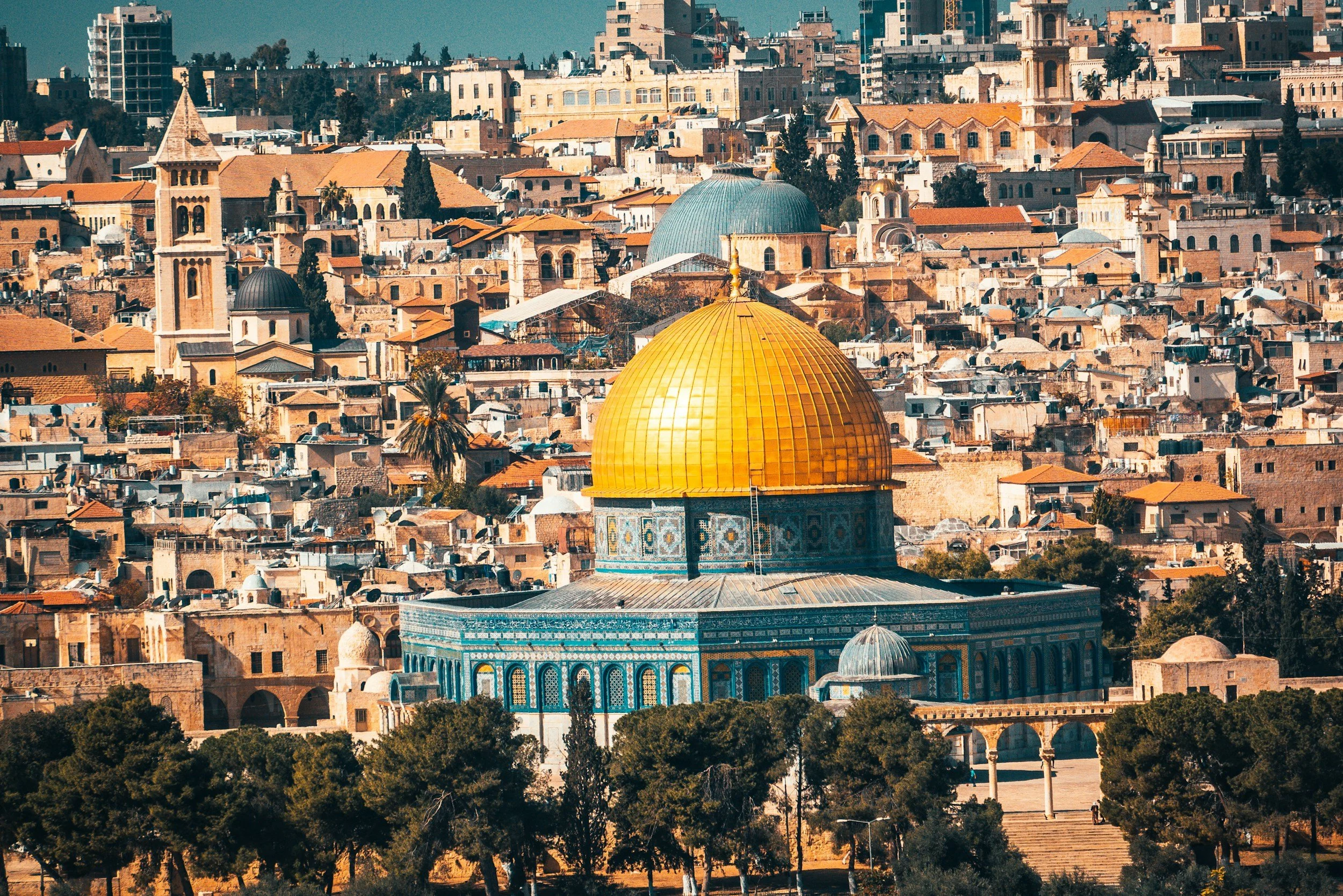
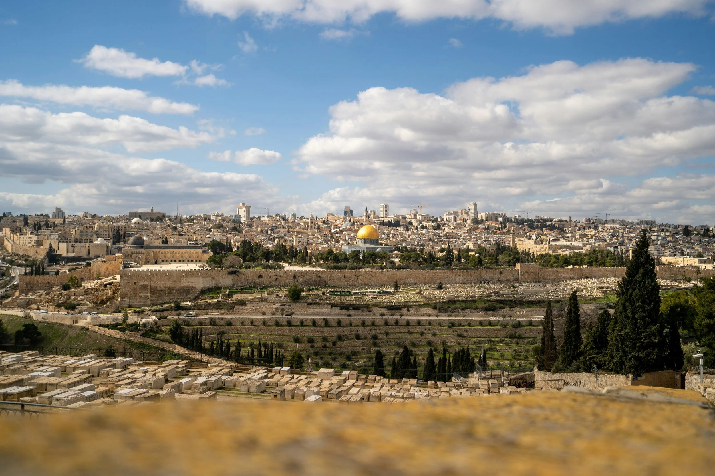
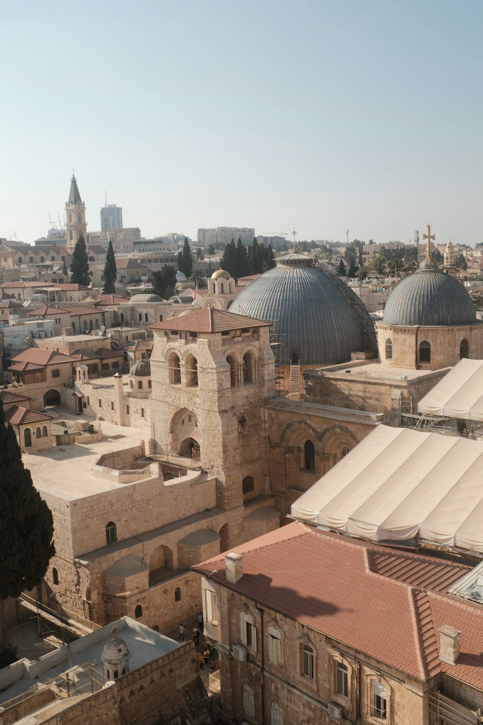
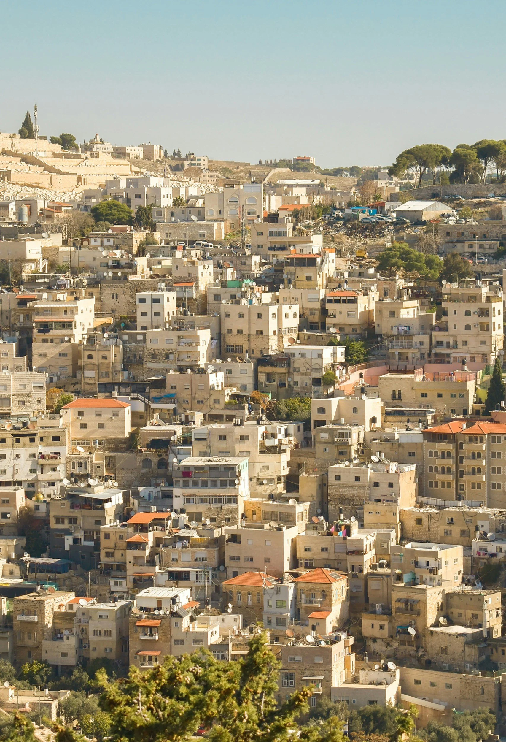
JER
‘The Holy City.’

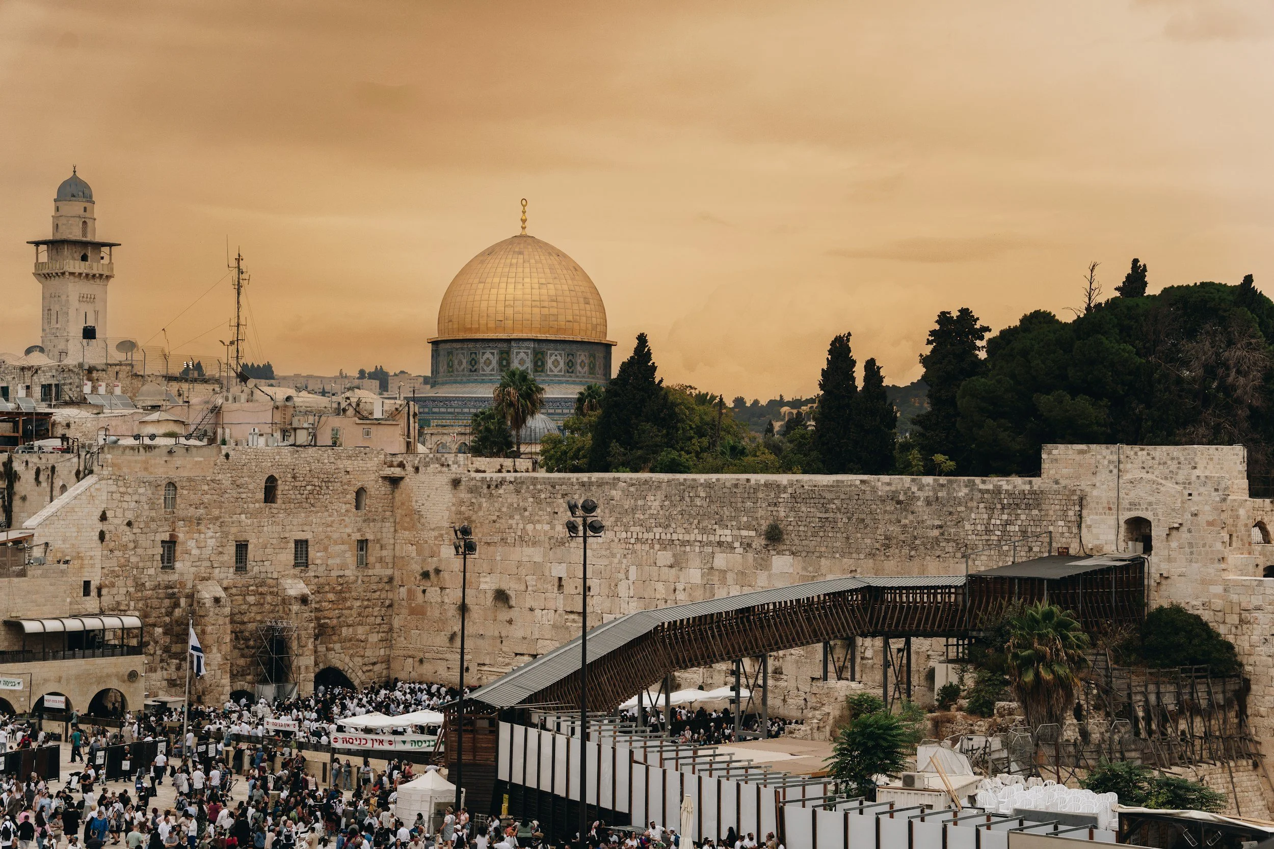
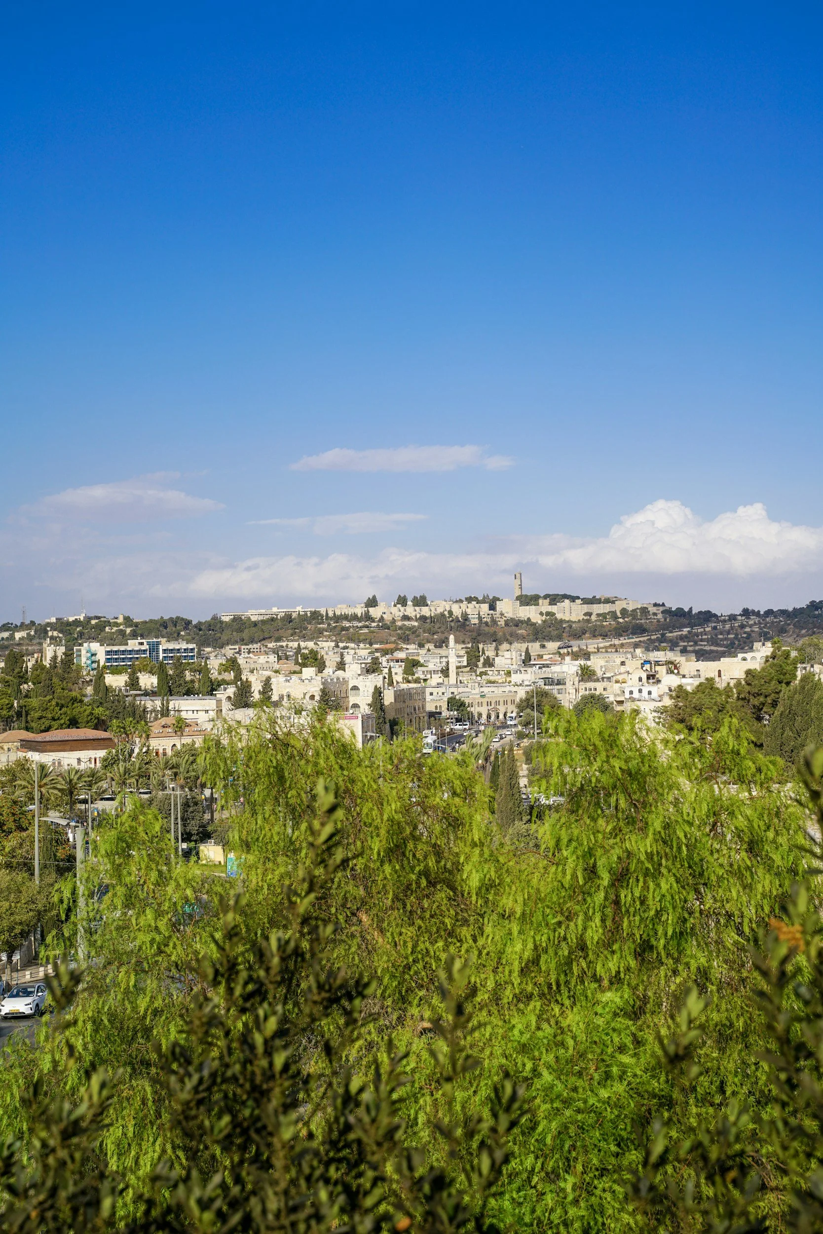
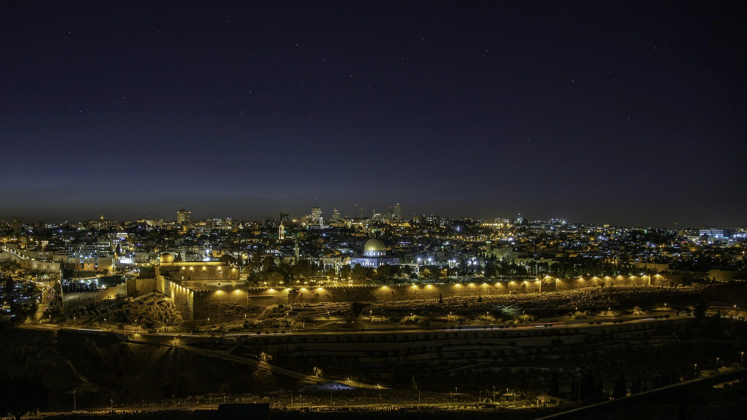
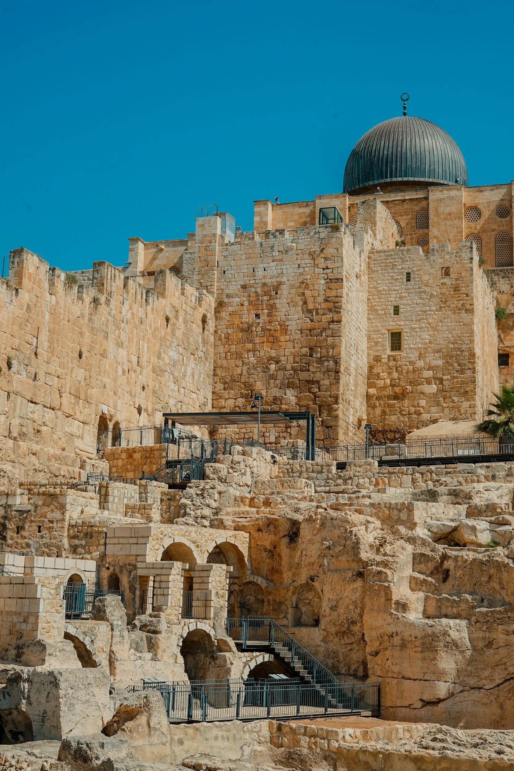
Jerusalem is the most historic of cities on a plateau in the Judaean mountains that retains special significance and symbols for the Abrahamic religions.
From its ancient walled city and four historic quarters, it has been enlarged beyond in modern times to become an active governmental and business centre.
However, it has remained divided and along its periphery in many sections are tall concrete West Bank separation barrier walls.
Maps of Jerusalem
Overview
Streets and Networks
Satellite View
All maps above provided courtesy of Google Maps.
Population Density
Visualising population density in Global Cities
This interactive map shows population density in 2020, measured in residents per square kilometre.
The data is from the ‘Global Human Settlement Layer’ (GHSL) 2023, produced by the European Commission JRC and the ‘Center for International Earth Science Information Network’ at Columbia University using earth sensing data from the European Copernicus Space Program that Integrates high volumes of satellite data with national census data.
The GHSL describes the settlement geography of the entire globe and has applications for a wide range of research and policy issues related to urban growth, development and sustainability.
Map provided courtesy of LuminoCity3D.org.
Rail Networks
Rail and transport networks in Global Cities
The above map represents the urban metro and light rail network of the city and immediate suburbs. This shows individual rail routes and the level of connectivity for urban travellers across the expanding city’.
Map provided courtesy of UrbanRail.net.