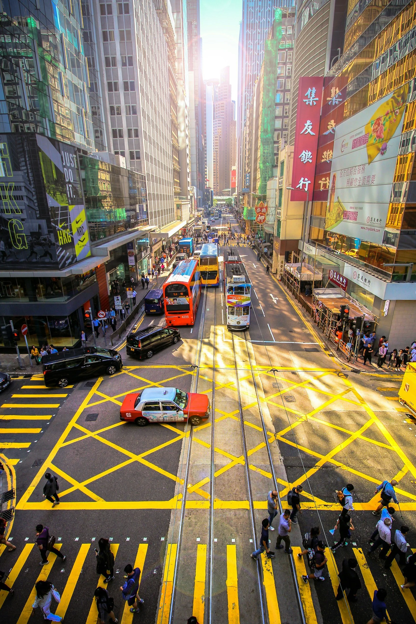
HK
‘Pearl of the Orient.’

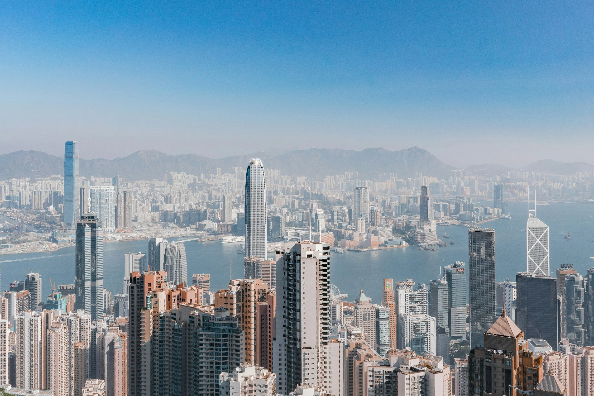
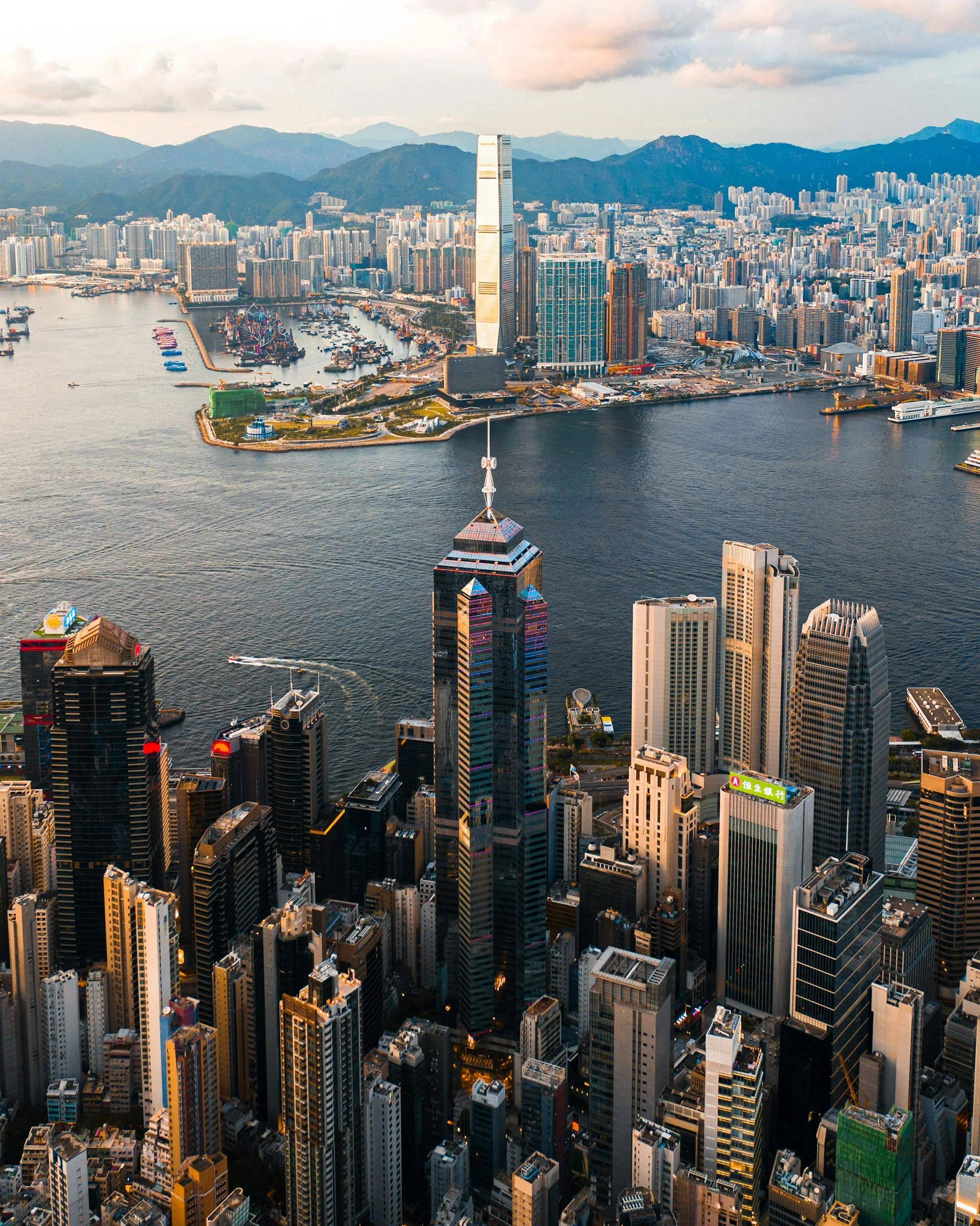
Hong Kong, with its sheltered Victoria Harbour facing Kowloon, was strategically located near Canton in the Pearl River estuary of China.
Leased from China for around 100 years, it developed as a strategic trading centre in the region.
After the hand-back of HK Island, Kowloon and the New Territories to become together a ‘Special Autonomous Region’ (SAR) of China in 1997, Hong Kong is anchored under the ‘One Country, Two Systems’ principle.
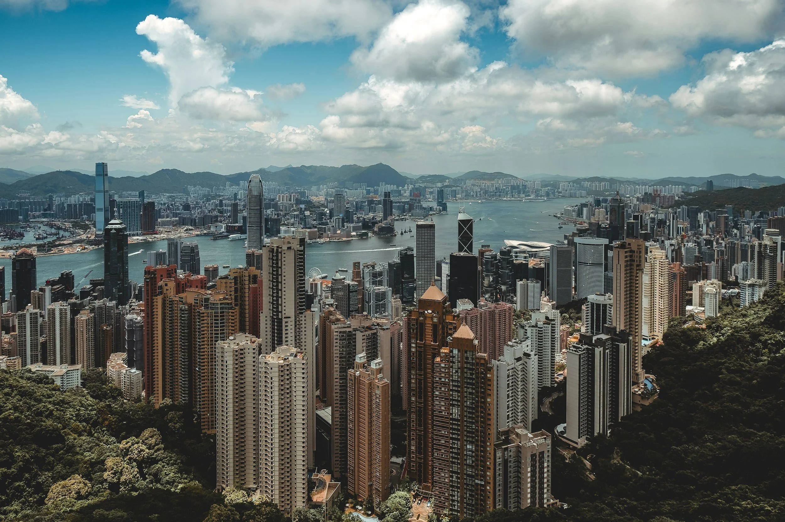
Now with Macao as key centres in the Guangdong Greater Bay Area, major infrastructure links continue to be built along with further land reclamation that are facilitating growth of this economically dynamic region.

Maps of Hong Kong
Overview
Streets and Networks
Satellite View
All maps above provided courtesy of Google Maps.
Population Density
Visualising population density in Global Cities
This interactive map shows population density in 2020, measured in residents per square kilometre.
The data is from the ‘Global Human Settlement Layer’ (GHSL) 2023, produced by the European Commission JRC and the ‘Center for International Earth Science Information Network’ at Columbia University using earth sensing data from the European Copernicus Space Program that Integrates high volumes of satellite data with national census data.
The GHSL describes the settlement geography of the entire globe and has applications for a wide range of research and policy issues related to urban growth, development and sustainability.
Map provided courtesy of LuminoCity3D.org.
Rail Networks
Rail and transport networks in Global Cities
The above map represents the urban metro and light rail network of the city and immediate suburbs. This shows individual rail routes and the level of connectivity for urban travellers across the expanding city’.
Map provided courtesy of UrbanRail.net.