DEL
‘City of Djinns.’


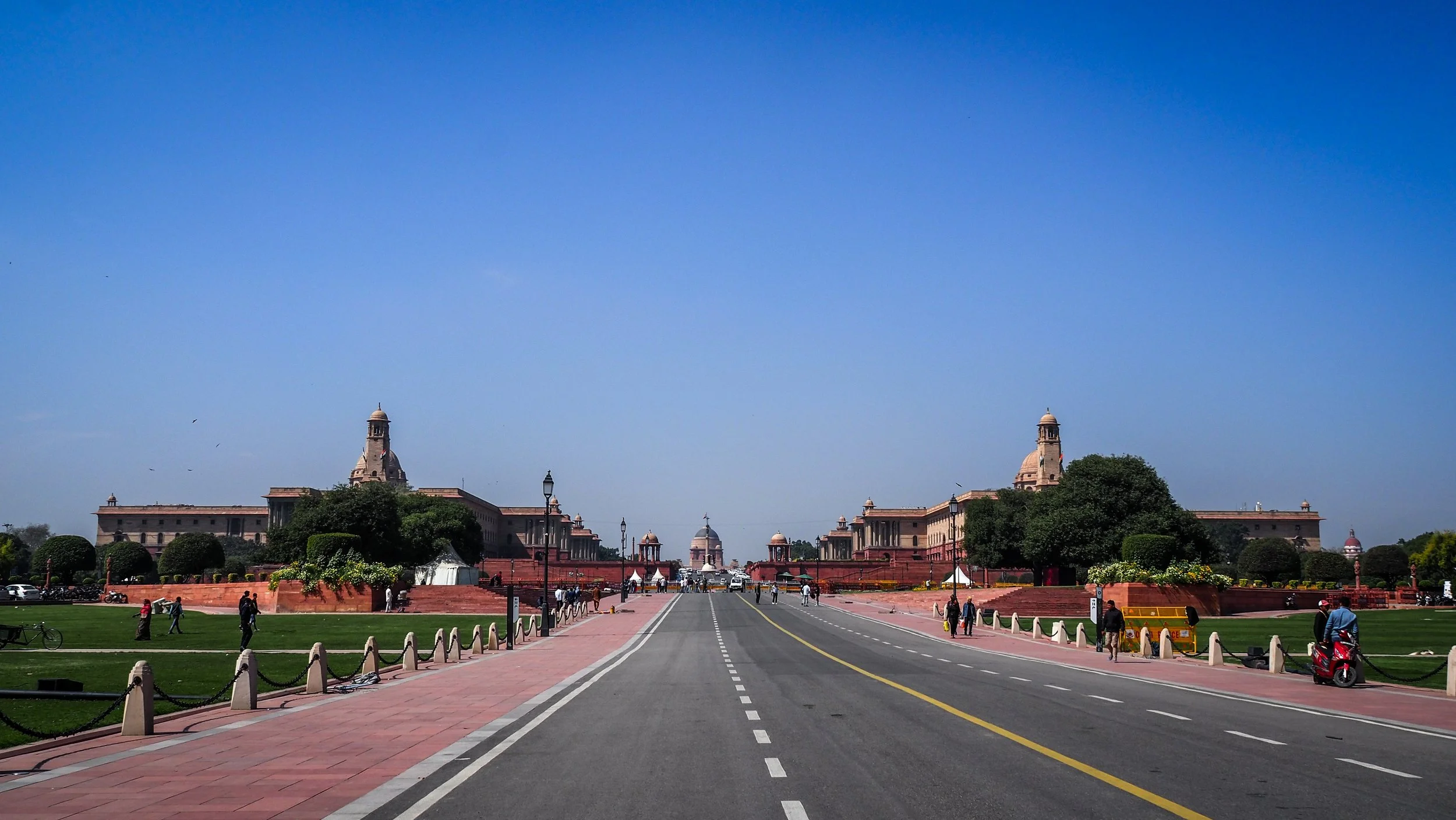
Delhi has been the historic capital of India over the ages with several different centres.
Besides colonial New Delhi – which was finalised during the 1930’s – the city has grown extensively around significant older symbolic sites which make it a compelling city.
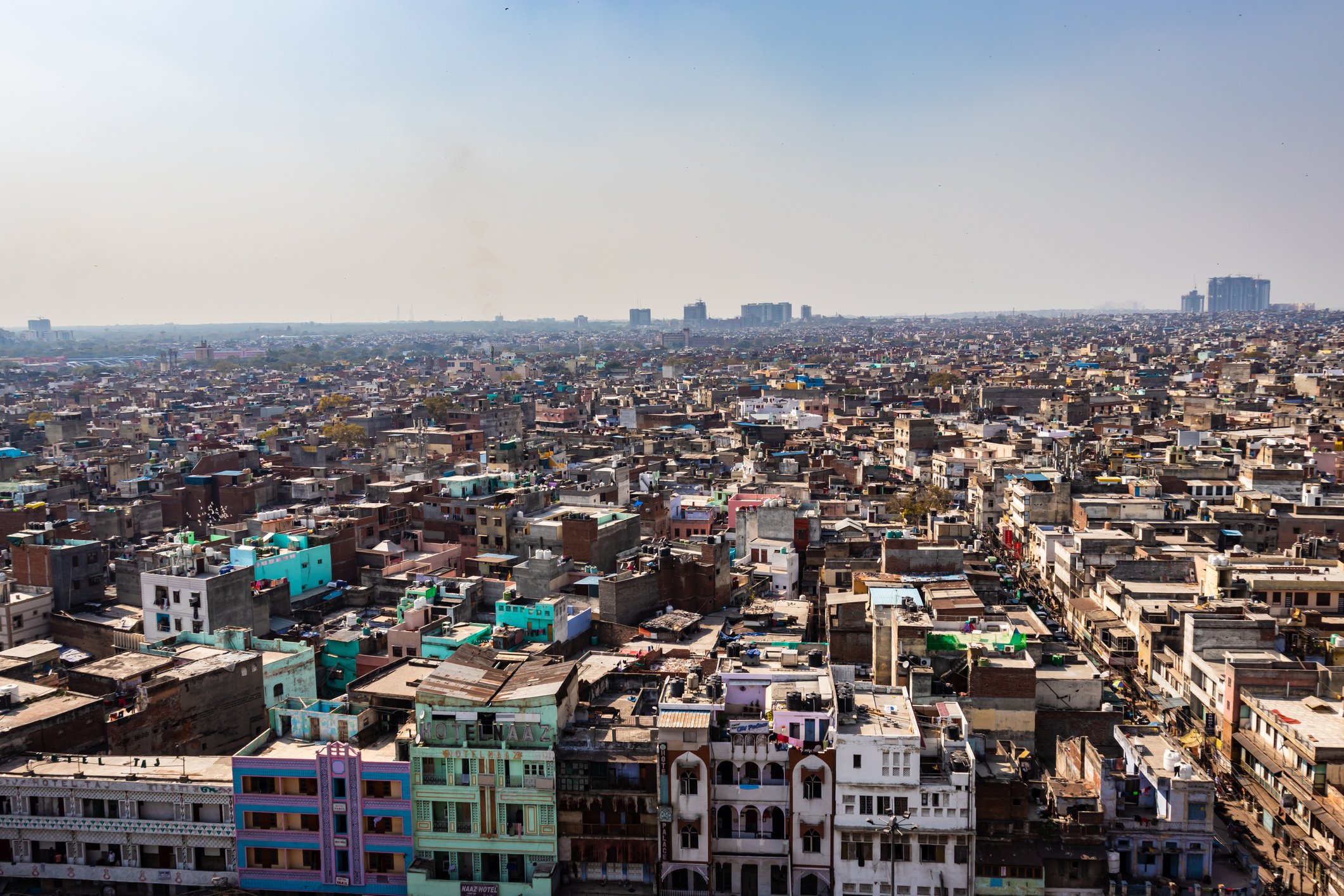
Now as National Capital Territory (NCT), comprising newly developed areas such as Noida and Ghaziabad, Gurugram and Faridabad, Delhi is India’s largest city – with developing poly-nodal centres extending around the periphery.
It has evolved into the largest Asian megalopolitan agglomeration.

Maps of Delhi
Overview
Streets and Networks
Satellite View
All maps above provided courtesy of Google Maps.
Population Density
Visualising population density in Global Cities
This interactive map shows population density in 2020, measured in residents per square kilometre.
The data is from the ‘Global Human Settlement Layer’ (GHSL) 2023, produced by the European Commission JRC and the ‘Center for International Earth Science Information Network’ at Columbia University using earth sensing data from the European Copernicus Space Program that Integrates high volumes of satellite data with national census data.
The GHSL describes the settlement geography of the entire globe and has applications for a wide range of research and policy issues related to urban growth, development and sustainability.
Map provided courtesy of LuminoCity3D.org.
Rail Networks
Rail and transport networks in Global Cities
The above map represents the urban metro and light rail network of the city and immediate suburbs. This shows individual rail routes and the level of connectivity for urban travellers across the expanding city’.
Map provided courtesy of UrbanRail.net.
Journals
12. Delhi + extract (Dominique Lapierre & Larry Collins)

‘From the ruins of former settlements around Old Delhi, with its location on the Gangetic plains on the banks of the Yamuna River, Delhi was at the head of the trade routes of north-west India.’