DFW
‘The Metroplex.’


Dallas-Fort Worth, formed from its original core cities of Dallas and Fort Worth – with its former stockyards combined with Arlington, has now grown into the metropolitan region of North Texas.
With the early construction of the railroads it grew as a trading centre from cotton and cattle to oil, to become an industrialised centre around the Trinity River.
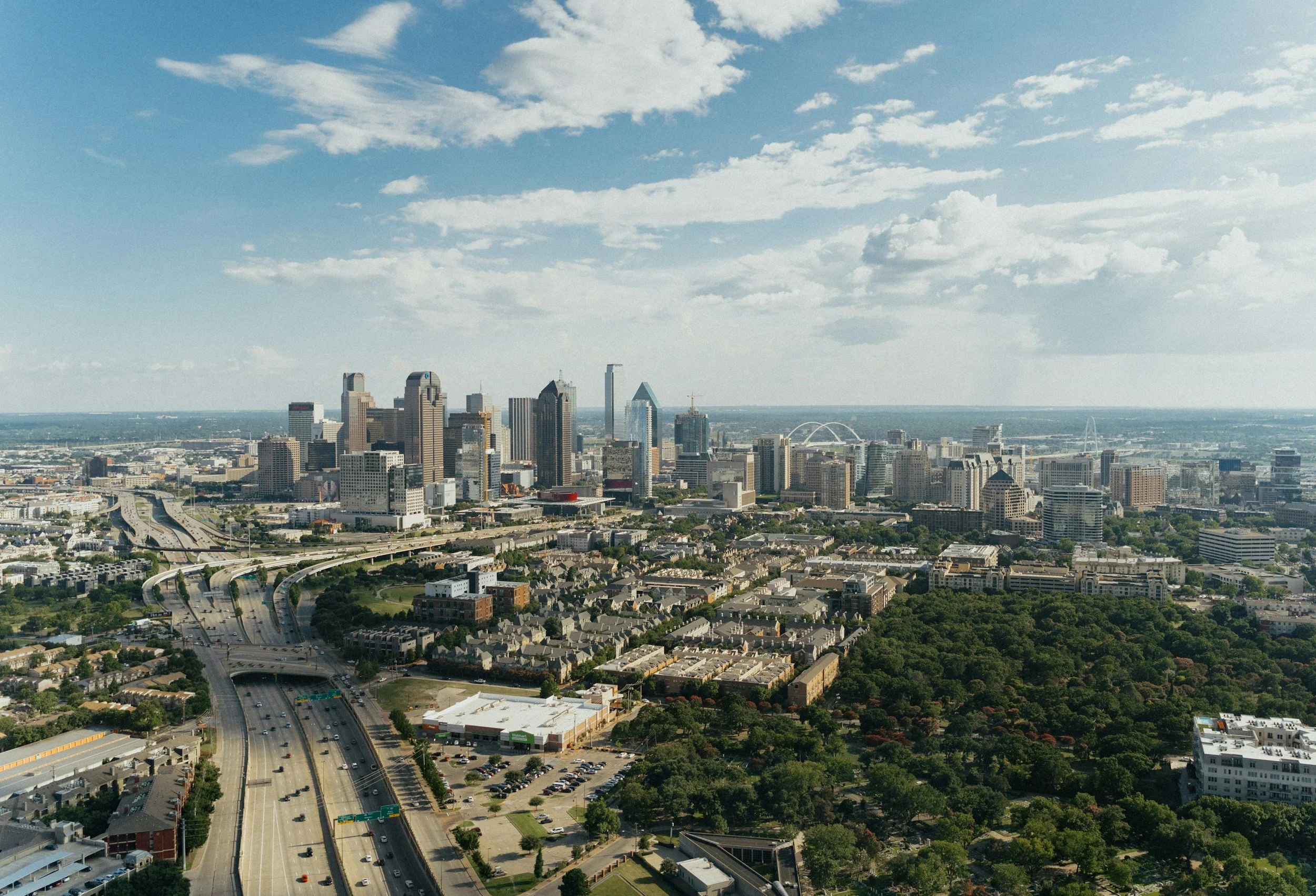
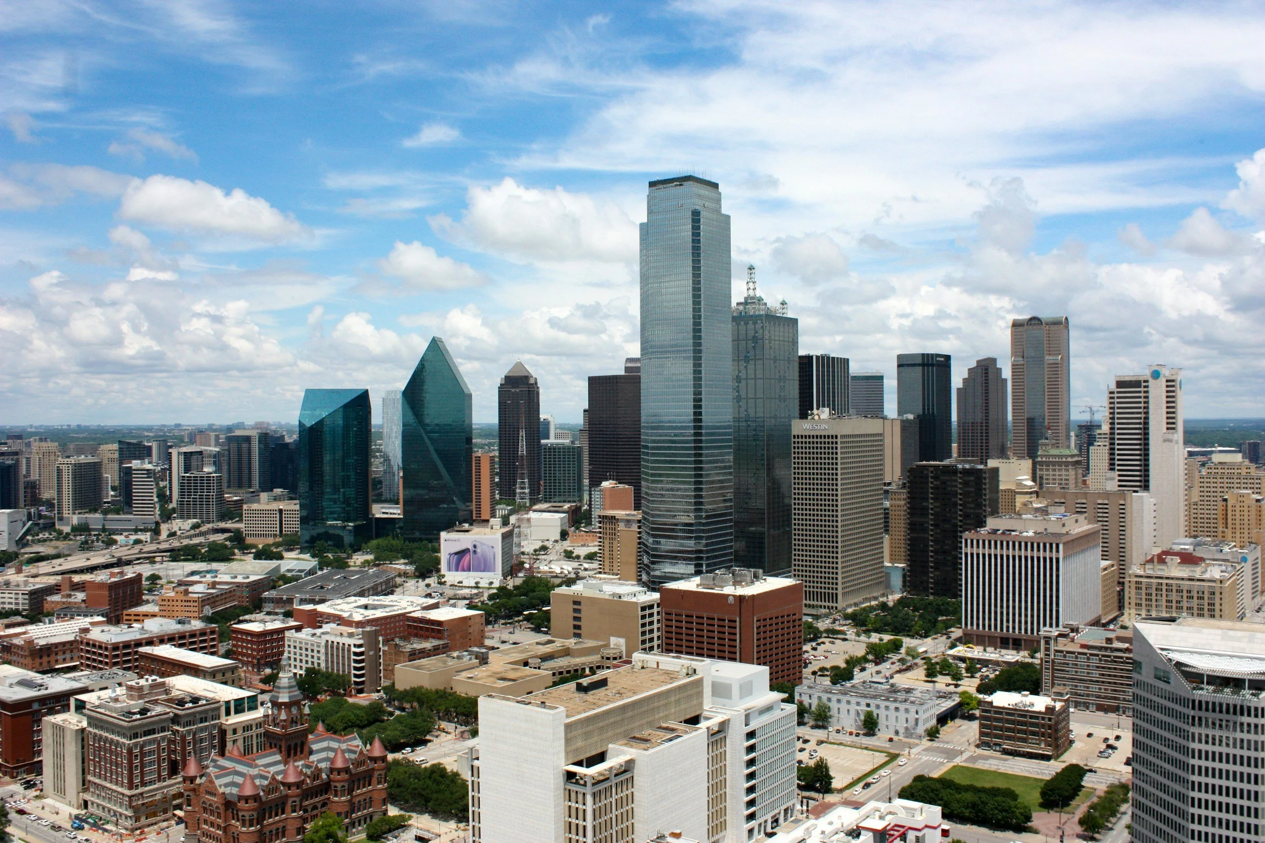
Now with its overall bi-polar structure, Dallas-Fort Worth International Airport (DFW) is the centre of the twin city with its dumb-bell shape and ubiquitous concrete infrastructure forming a major aviation hub in its ever-expanding surrounding metropolitanised region.

Maps of Dallas-Fort Worth
Overview
Streets and Networks
Satellite View
All maps above provided courtesy of Google Maps.
Population Density
Visualising population density in Global Cities
This interactive map shows population density in 2020, measured in residents per square kilometre.
The data is from the ‘Global Human Settlement Layer’ (GHSL) 2023, produced by the European Commission JRC and the ‘Center for International Earth Science Information Network’ at Columbia University using earth sensing data from the European Copernicus Space Program that Integrates high volumes of satellite data with national census data.
The GHSL describes the settlement geography of the entire globe and has applications for a wide range of research and policy issues related to urban growth, development and sustainability.
Map provided courtesy of LuminoCity3D.org.
Rail Networks
Rail and transport networks in Global Cities
The above map represents the urban metro and light rail network of the city and immediate suburbs. This shows individual rail routes and the level of connectivity for urban travellers across the expanding city’.
Map provided courtesy of UrbanRail.net.