BUE
‘La Reina del Plata.’


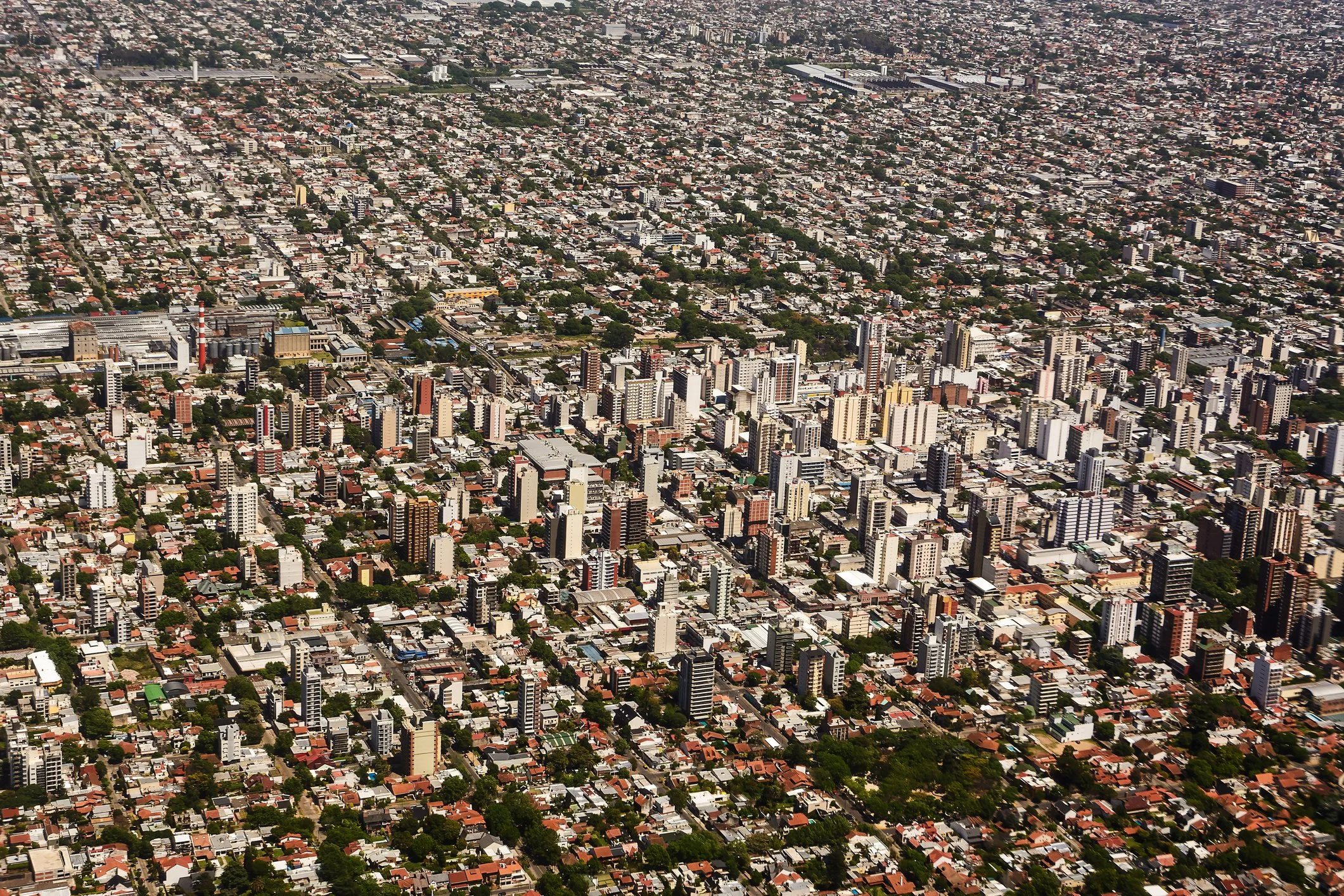
Buenos Aires is located on the southwest of the Rio de la Plata in South America as an Autonomous City that has been settled by waves of European immigration.
With its port and surrounding fertile Argentinian pampas, it became a centre of trade as railroads were developed – and was increasingly urbanised.
As a coastal city, it has developed inland organically from its central grid and historic quarters.

Maps of Buenos Aires
Overview
Streets and Networks
Satellite View
All maps above provided courtesy of Google Maps.
Population Density
Visualising population density in Global Cities
This interactive map shows population density in 2020, measured in residents per square kilometre.
The data is from the ‘Global Human Settlement Layer’ (GHSL) 2023, produced by the European Commission JRC and the ‘Center for International Earth Science Information Network’ at Columbia University using earth sensing data from the European Copernicus Space Program that Integrates high volumes of satellite data with national census data.
The GHSL describes the settlement geography of the entire globe and has applications for a wide range of research and policy issues related to urban growth, development and sustainability.
Map provided courtesy of LuminoCity3D.org.
Rail Networks
Rail and transport networks in Global Cities
The above map represents the urban metro and light rail network of the city and immediate suburbs. This shows individual rail routes and the level of connectivity for urban travellers across the expanding city’.
Map provided courtesy of UrbanRail.net.
Journals
18. Buenos Aires + extract (Felipe Fernández-Armesto & Shlomo Angel)

‘Buenos Aires was booming. On the eve of the take-off in the 1870s, when the population was around 200,000, the city seemed to teeter on the edge of civilization. Argentina was an estuary, and the pampa a palatinate. Every view was limitless, along the sea-wide river, across the ocean-wide sea into the apparently endless plain. A ride away lived people the citizens called savages.’