BER
‘Athens on the Spree’

Berlin is the capital of re-united Germany with new Federal Government institutions, a City State surrounded by the Berlin-Brandenburg Region.
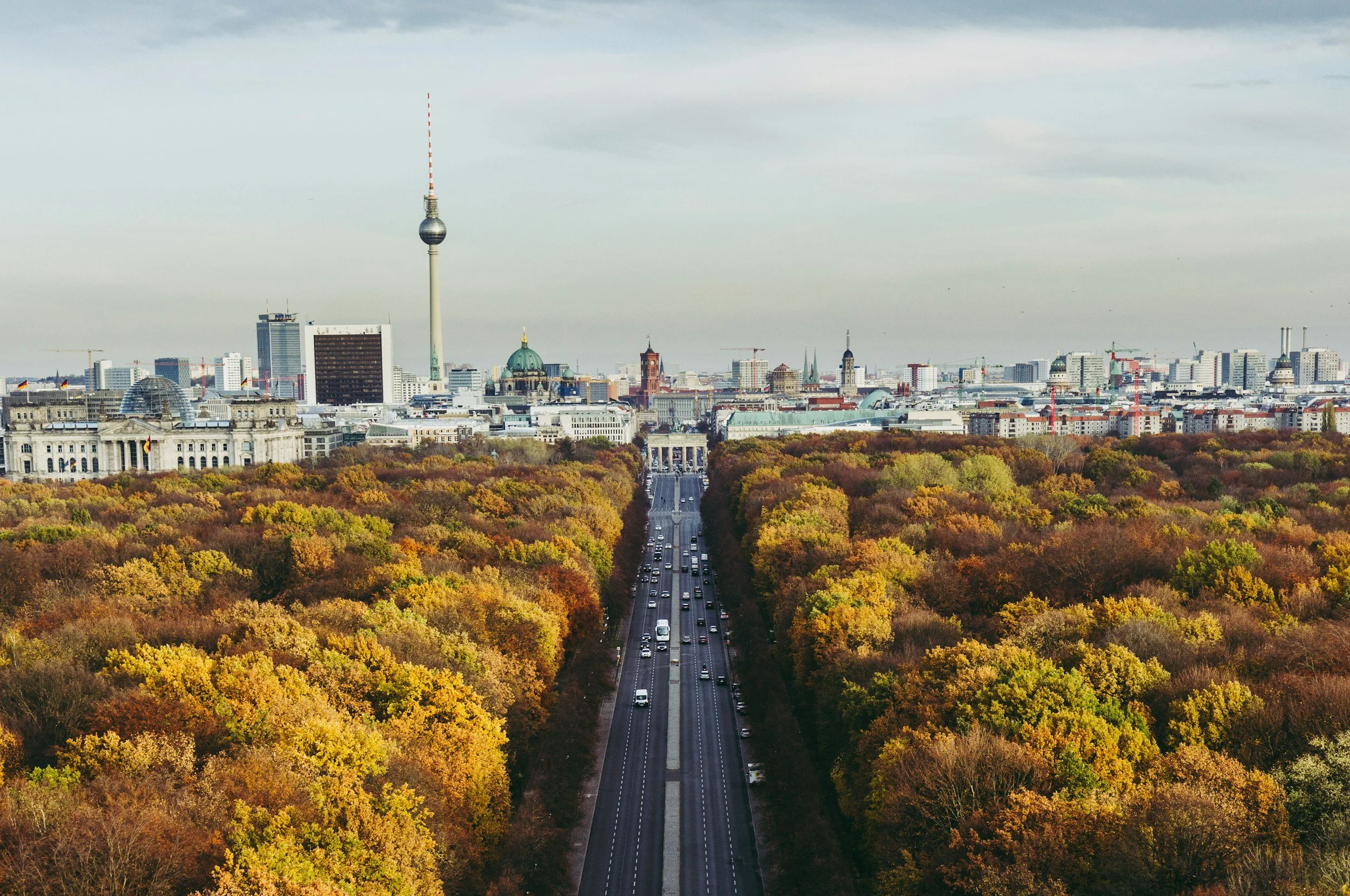
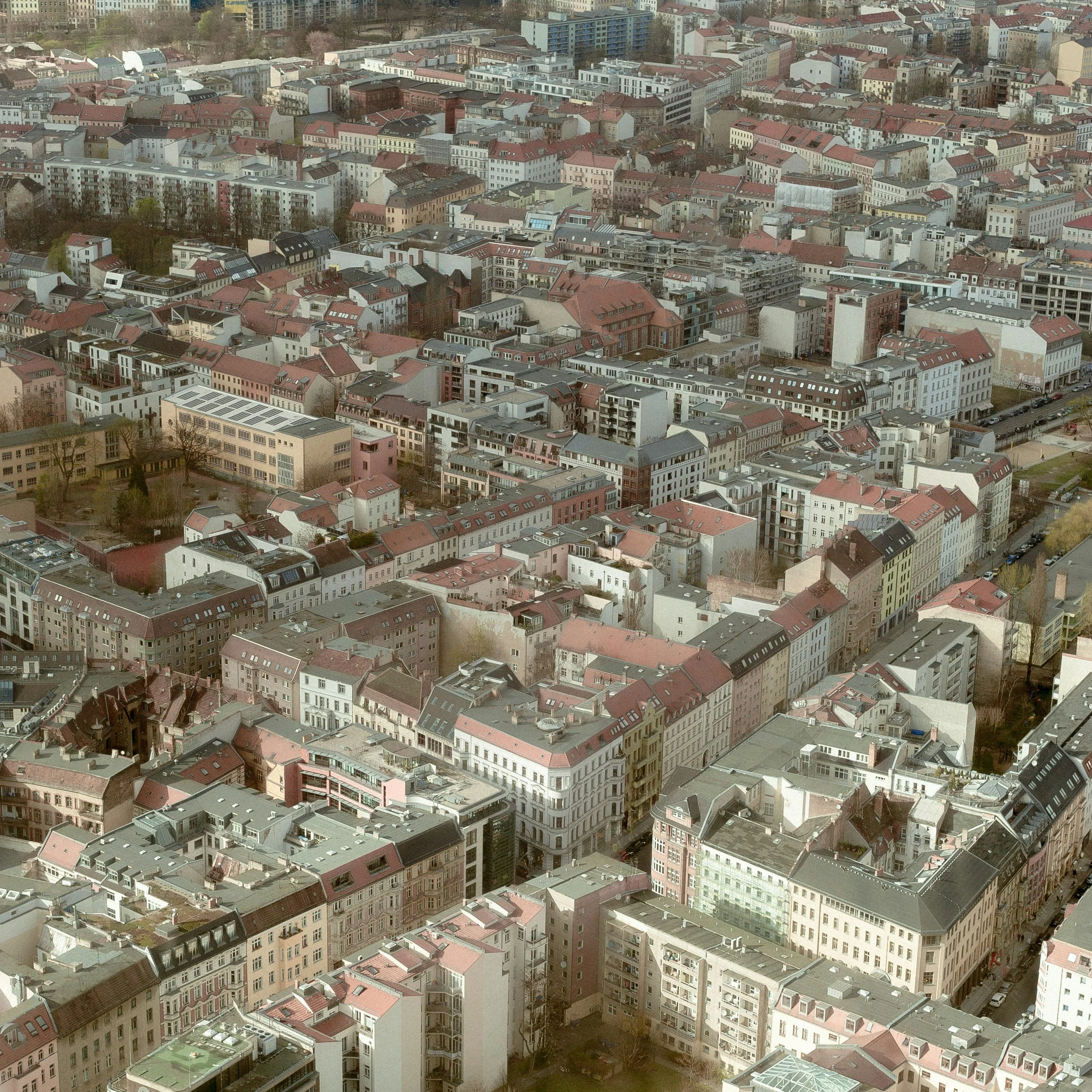
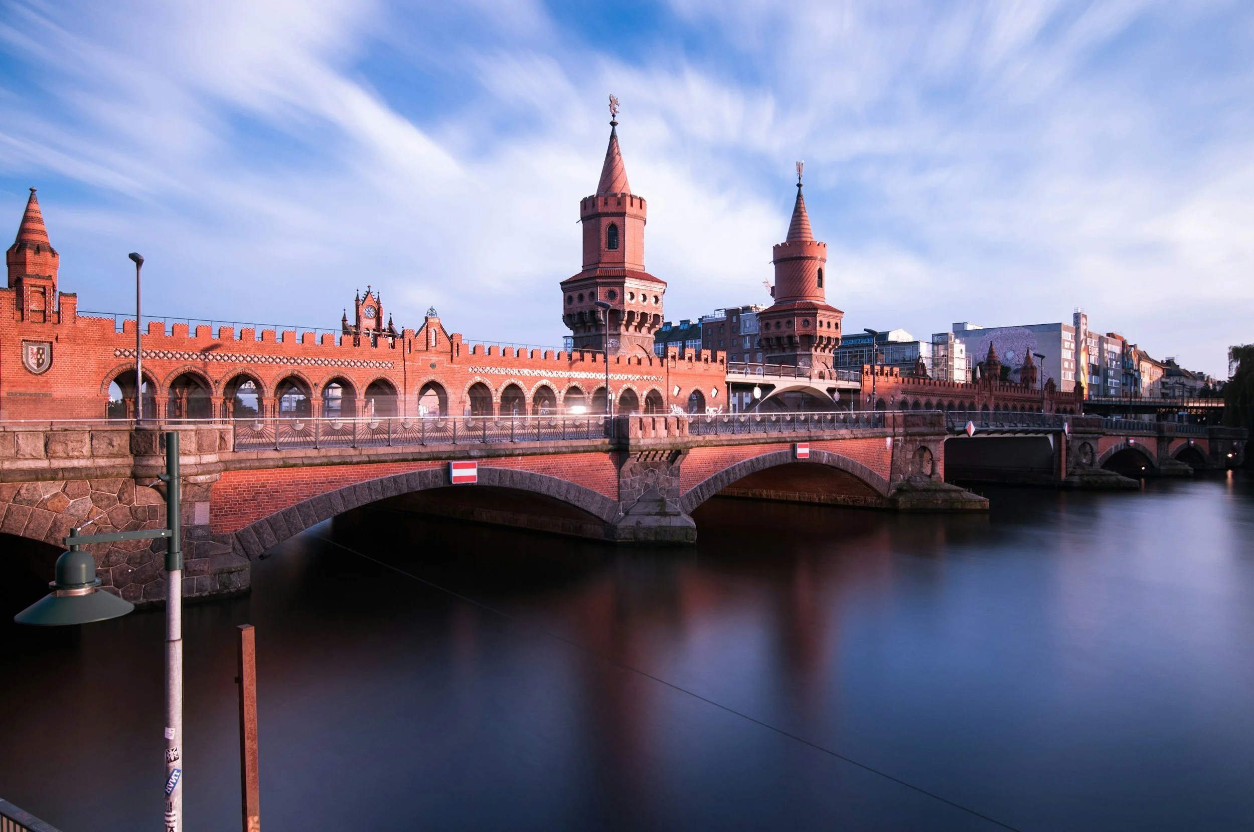
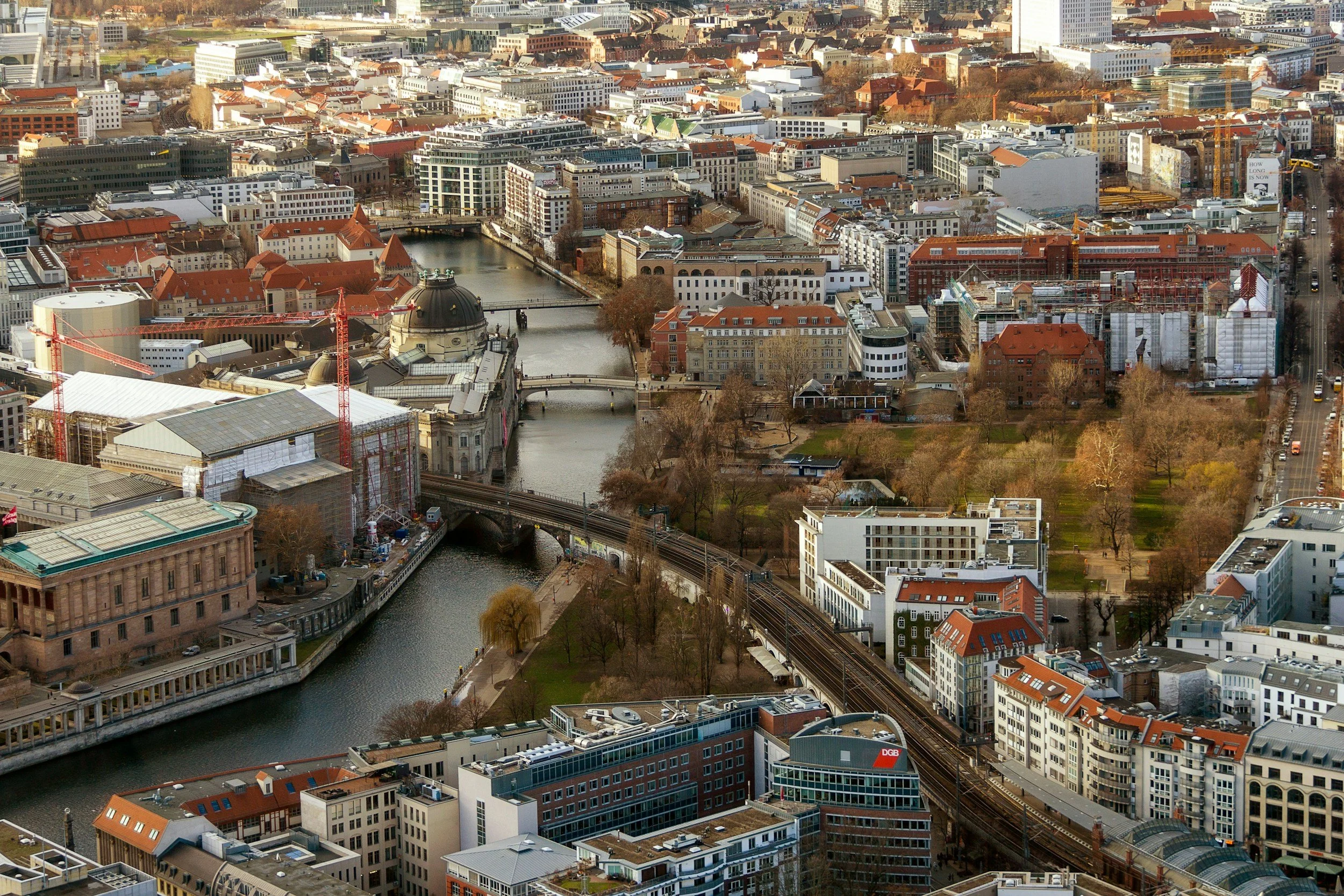
From its historical origins around an island in the River Spree, the city has grown organically, has been destroyed, divided and rebuilt again.
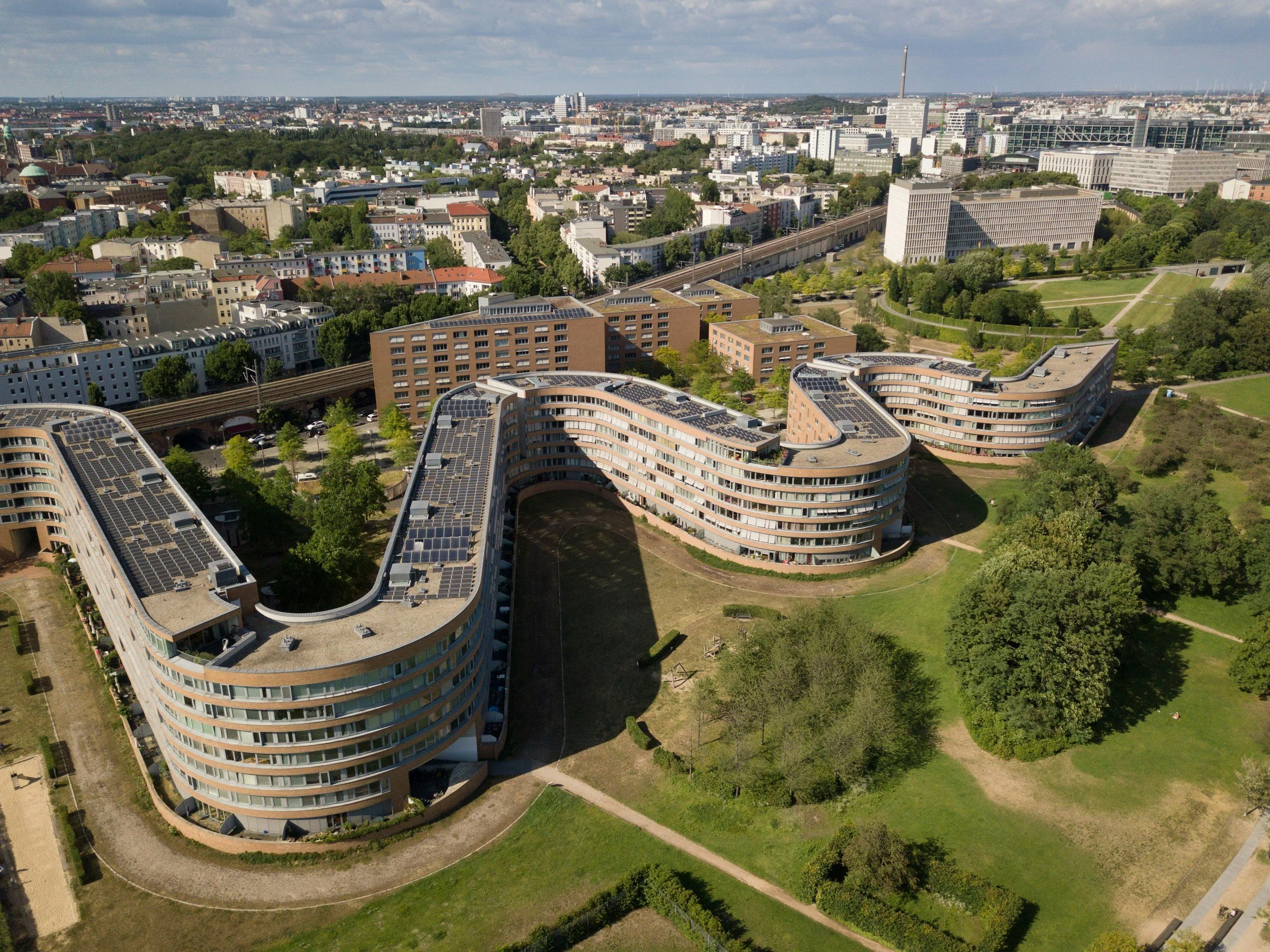
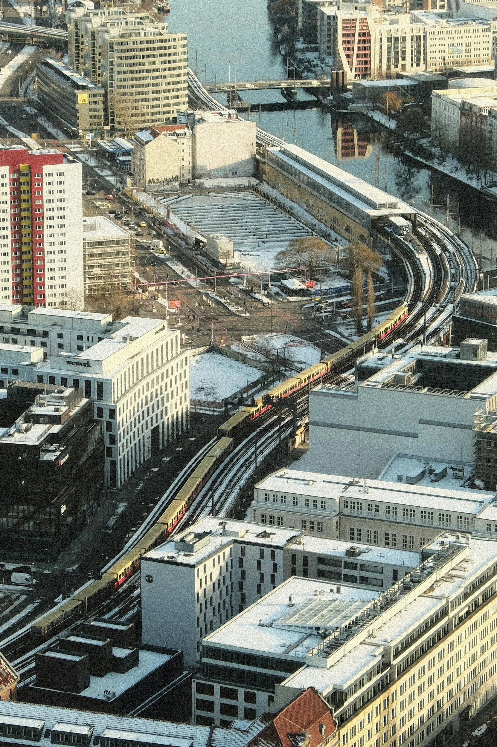
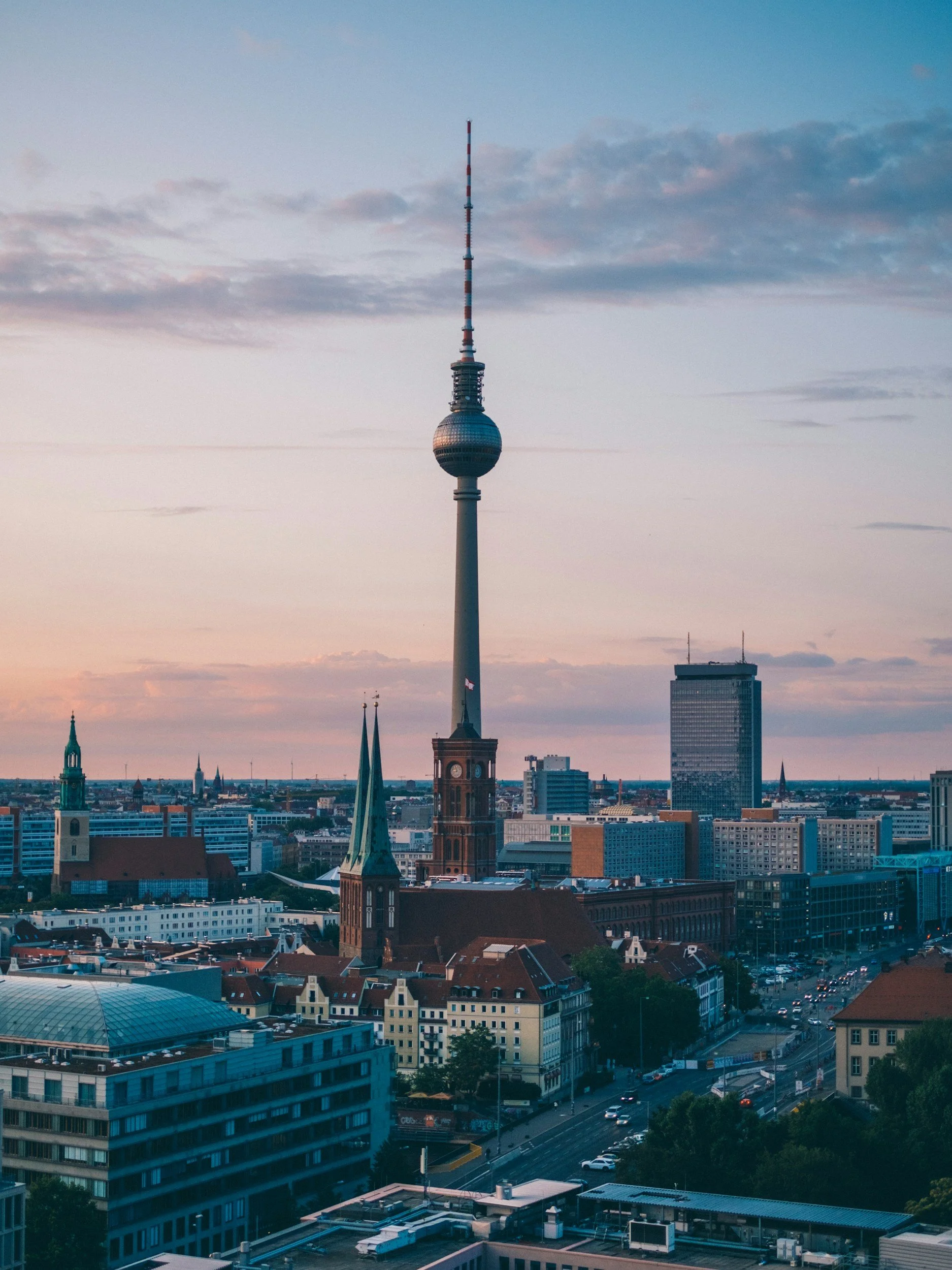
It has now re-established itself in having a dynamic centre around old Mitte and been transformed with excellent modern urban transport systems to facilitate access across the expanding metropolitan region.
Maps of Berlin
Overview
Streets and Networks
Satellite View
All maps above provided courtesy of Google Maps.
Population Density
Visualising population density in Global Cities
This interactive map shows population density in 2020, measured in residents per square kilometre.
The data is from the ‘Global Human Settlement Layer’ (GHSL) 2023, produced by the European Commission JRC and the ‘Center for International Earth Science Information Network’ at Columbia University using earth sensing data from the European Copernicus Space Program that Integrates high volumes of satellite data with national census data.
The GHSL describes the settlement geography of the entire globe and has applications for a wide range of research and policy issues related to urban growth, development and sustainability.
Map provided courtesy of LuminoCity3D.org.
Rail Networks
Rail and transport networks in Global Cities
The above map represents the urban metro and light rail network of the city and immediate suburbs. This shows individual rail routes and the level of connectivity for urban travellers across the expanding city’.
Map provided courtesy of UrbanRail.net.
Journals
21. Berlin + extract (Alan Balfour)
‘The year is 1737. The place is the westward edge of Berlin. A sector is being created to provide an ordered reality for a newly emerging urban aristocracy. It will symbolize the emergence of German culture from rural feudalism into an appearance of ‘enlightenment’ and reason.’