ATL
‘The Big Peach.’


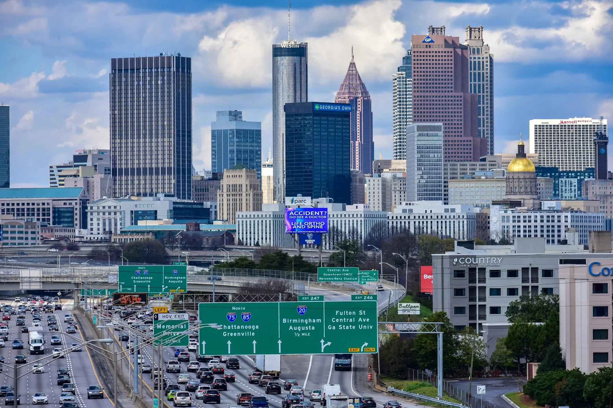
Atlanta is a major modern city in the ‘New South’ of America that industrialised initially around the junction of regional railroads that included the ‘Western & Atlantic’.
This expansion of transport connections has continued with its focus at the modern dynamic Hartsfield-Jackson International Airport.
Atlanta is a planned modern American city with a diversifying economy and changing demographics and neighbourhood environments.

Maps of Atlanta
Overview
Streets and Networks
Satellite View
All maps above provided courtesy of Google Maps.
Population Density
Visualising population density in Global Cities
This interactive map shows population density in 2020, measured in residents per square kilometre.
The data is from the ‘Global Human Settlement Layer’ (GHSL) 2023, produced by the European Commission JRC and the ‘Center for International Earth Science Information Network’ at Columbia University using earth sensing data from the European Copernicus Space Program that Integrates high volumes of satellite data with national census data.
The GHSL describes the settlement geography of the entire globe and has applications for a wide range of research and policy issues related to urban growth, development and sustainability.
Map provided courtesy of LuminoCity3D.org.
Rail Networks
Rail and transport networks in Global Cities
The above map represents the urban metro and light rail network of the city and immediate suburbs. This shows individual rail routes and the level of connectivity for urban travellers across the expanding city’.
Map provided courtesy of UrbanRail.net.