AMS
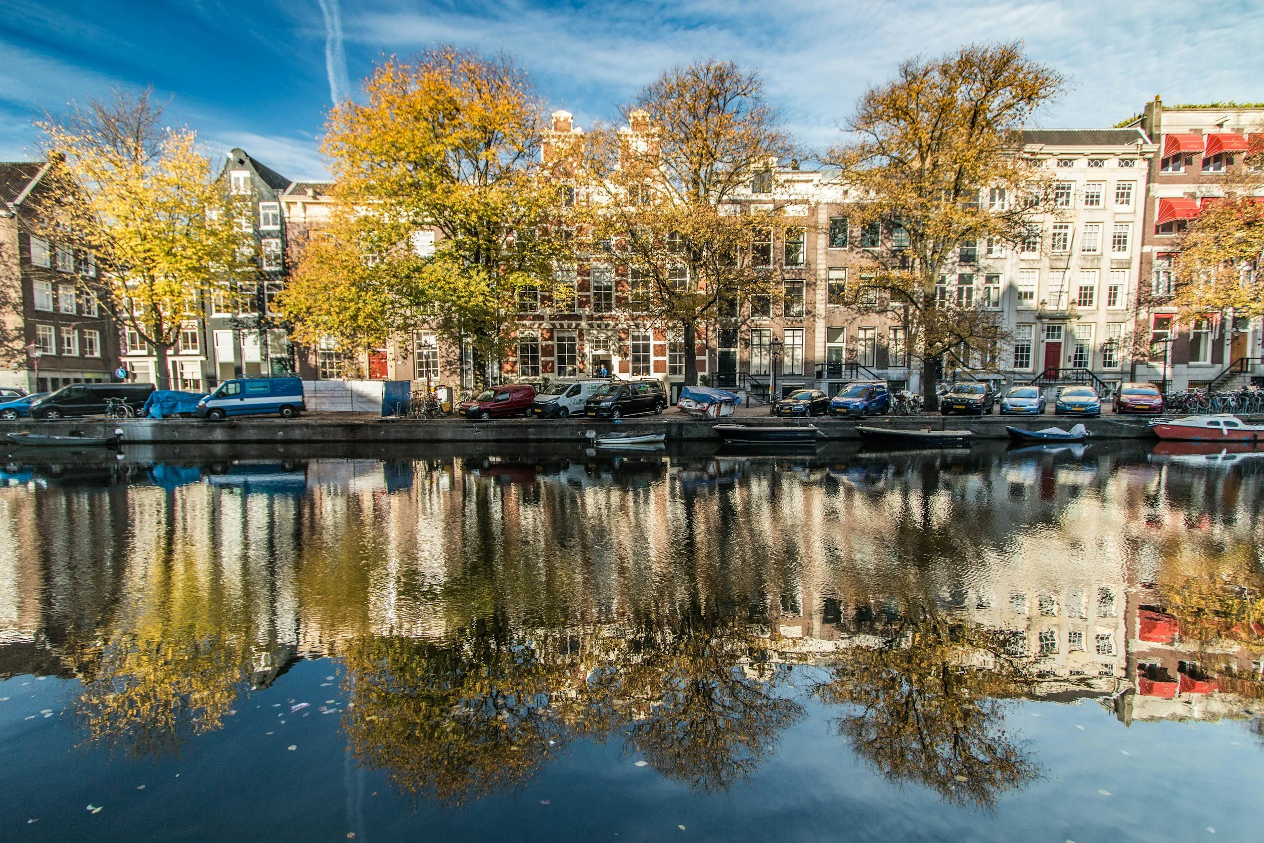
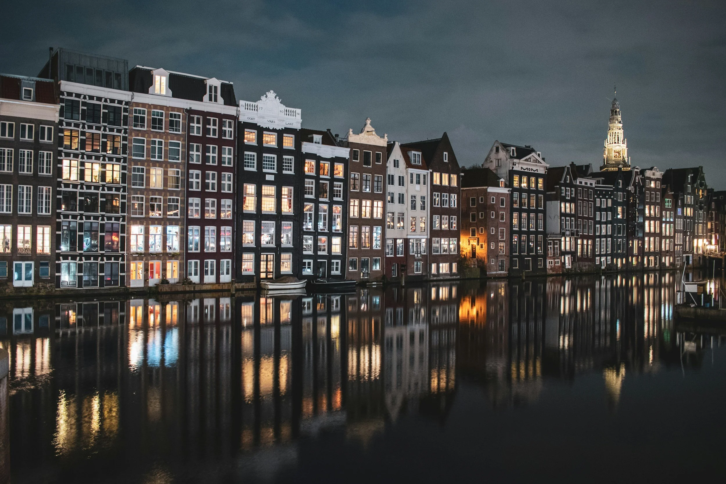
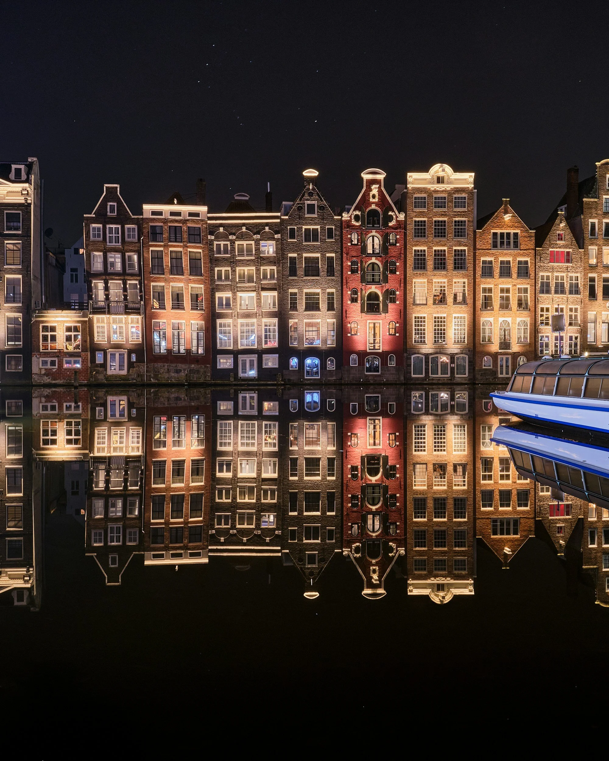
‘Venice of the North.’

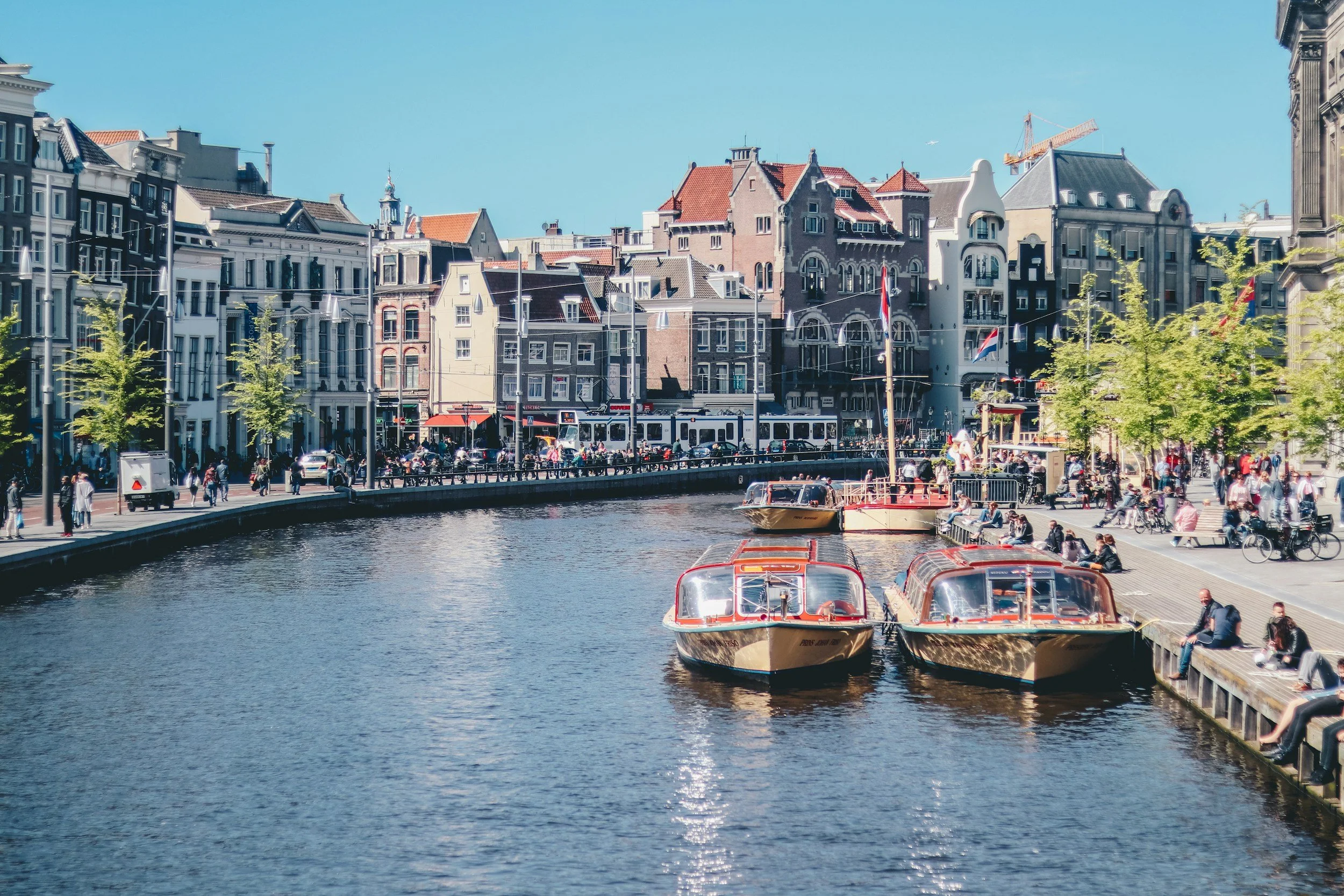
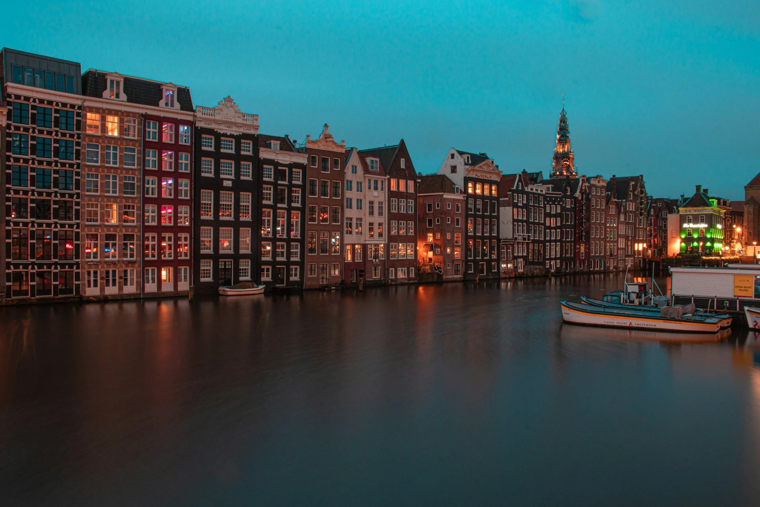
Amsterdam was founded in the low-lying area at the mouth of the River Amstel which was first dammed and with a series of drainage canals (grachten) and ditches (sloten) to control flooding.
With areas either side of the Amstel, Nieuwerzijds and Ouderzijds, and with the Singel, the city was developed around three broad concentric canals Heerengracht, Keizersgracht and Prinzengracht which have determined its horseshoe shape, the ‘Grachtensgordel’.
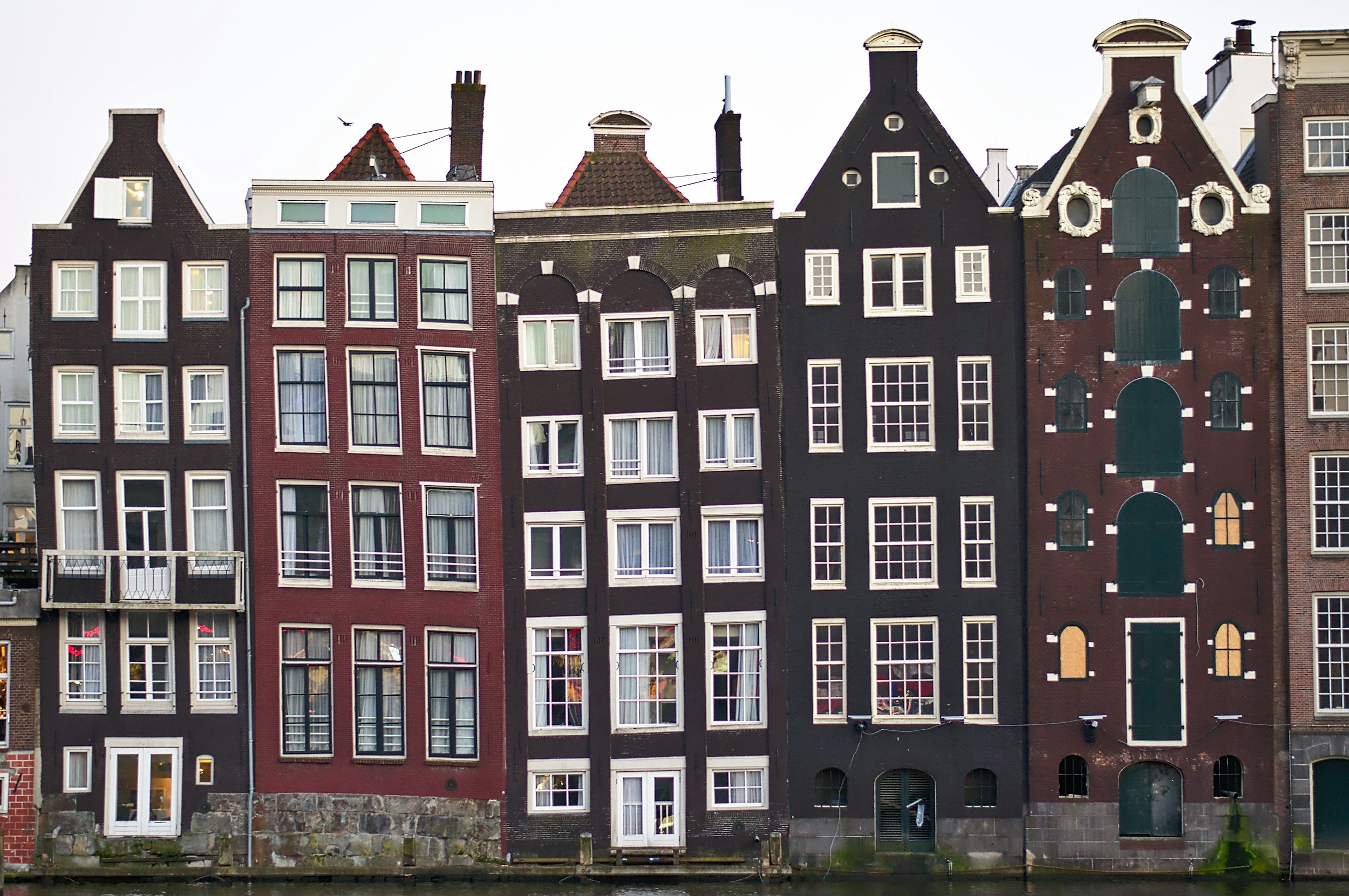
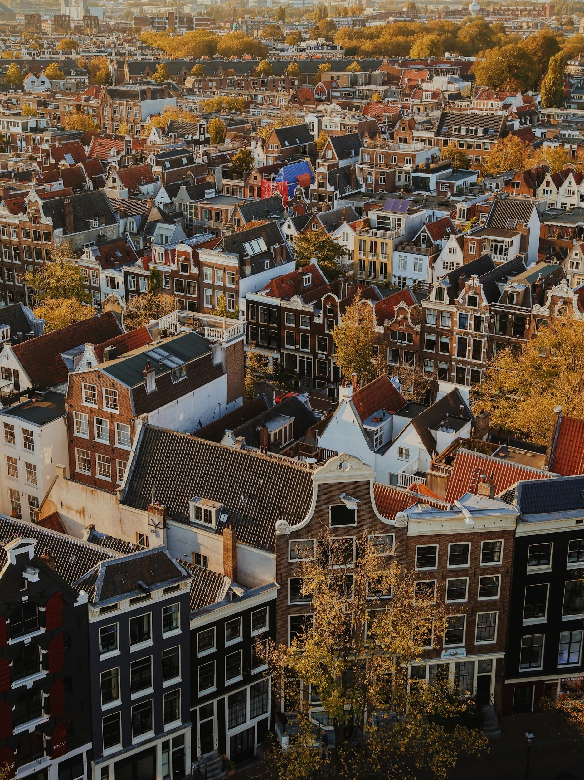
These canals bordered by cobblestone roads and rows of gabled brick houses have given the city its characteristic Dutch style.
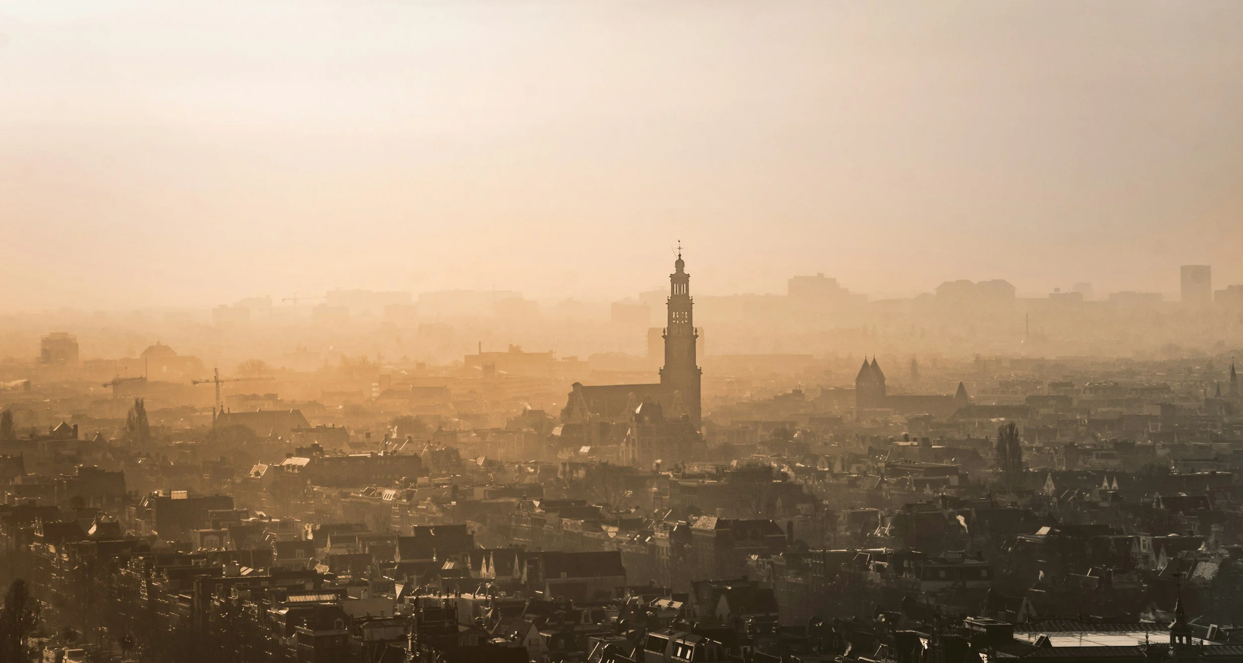
The urbanised area is now growing radially and circumferentially with new discrete areas on the periphery around the River IJ.
Maps of Amsterdam
Overview
Streets and Networks
Satellite View
All maps above provided courtesy of Google Maps.
Population Density
Visualising population density in Global Cities
This interactive map shows population density in 2020, measured in residents per square kilometre.
The data is from the ‘Global Human Settlement Layer’ (GHSL) 2023, produced by the European Commission JRC and the ‘Center for International Earth Science Information Network’ at Columbia University using earth sensing data from the European Copernicus Space Program that Integrates high volumes of satellite data with national census data.
The GHSL describes the settlement geography of the entire globe and has applications for a wide range of research and policy issues related to urban growth, development and sustainability.
Map provided courtesy of LuminoCity3D.org.
Rail Networks
Rail and transport networks in Global Cities
The above map represents the urban metro and light rail network of the city and immediate suburbs. This shows individual rail routes and the level of connectivity for urban travellers across the expanding city’.
Map provided courtesy of UrbanRail.net.
Journals
25. Amsterdam + extract (Steen Eiler Rasmussen)
‘Amsterdam grew into a city of unusual size. The town was built on the mouth of a river. On each side of the Amstel a dike was erected, forming the foundation of a very modest settlement. Along the ridges ran the narrow main streets; stretching down to the river wharves were rows of merchants’ houses.’