LA
‘The City of Angels.’


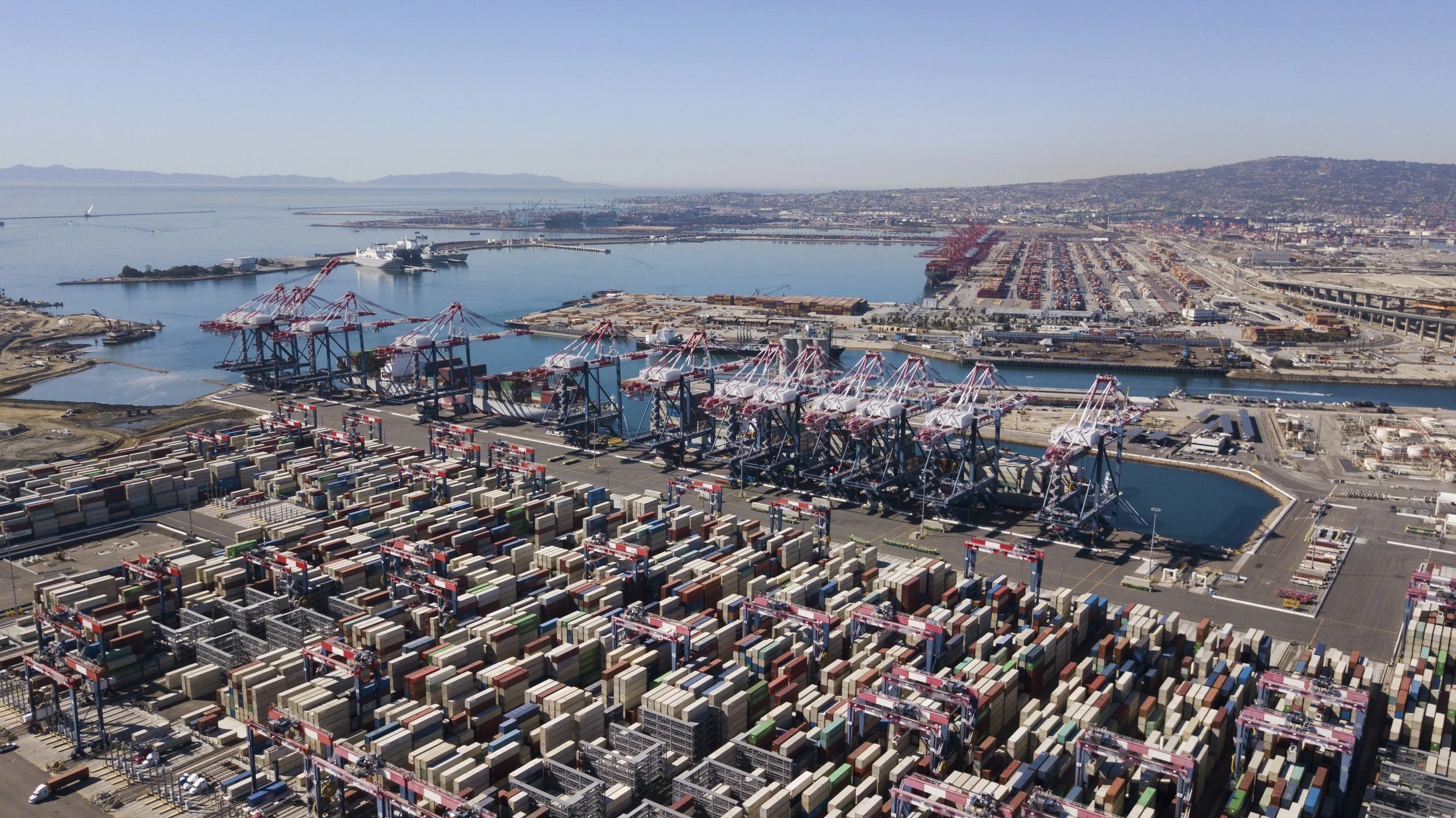
Los Angeles is a major west coast modern American city that has grown along extenuating highway networks laterally into an amorphous urbanised area having poly nodal-centres.
With its coastal perimeters, it is a planned city that is extending laterally on new platted areas along highways sited between lower mountain areas and canyons.

Maps of Los Angeles
Overview
Streets and Networks
Satellite View
All maps above provided courtesy of Google Maps.
Population Density
Visualising population density in Global Cities
This interactive map shows population density in 2020, measured in residents per square kilometre.
The data is from the ‘Global Human Settlement Layer’ (GHSL) 2023, produced by the European Commission JRC and the ‘Center for International Earth Science Information Network’ at Columbia University using earth sensing data from the European Copernicus Space Program that Integrates high volumes of satellite data with national census data.
The GHSL describes the settlement geography of the entire globe and has applications for a wide range of research and policy issues related to urban growth, development and sustainability.
Map provided courtesy of LuminoCity3D.org.
Rail Networks
Rail and transport networks in Global Cities
The above map represents the urban metro and light rail network of the city and immediate suburbs. This shows individual rail routes and the level of connectivity for urban travellers across the expanding city’.
Map provided courtesy of UrbanRail.net.
Journals
7. Los Angeles + extract (Reyner Banham, Mike Davis & Kevin Starr)

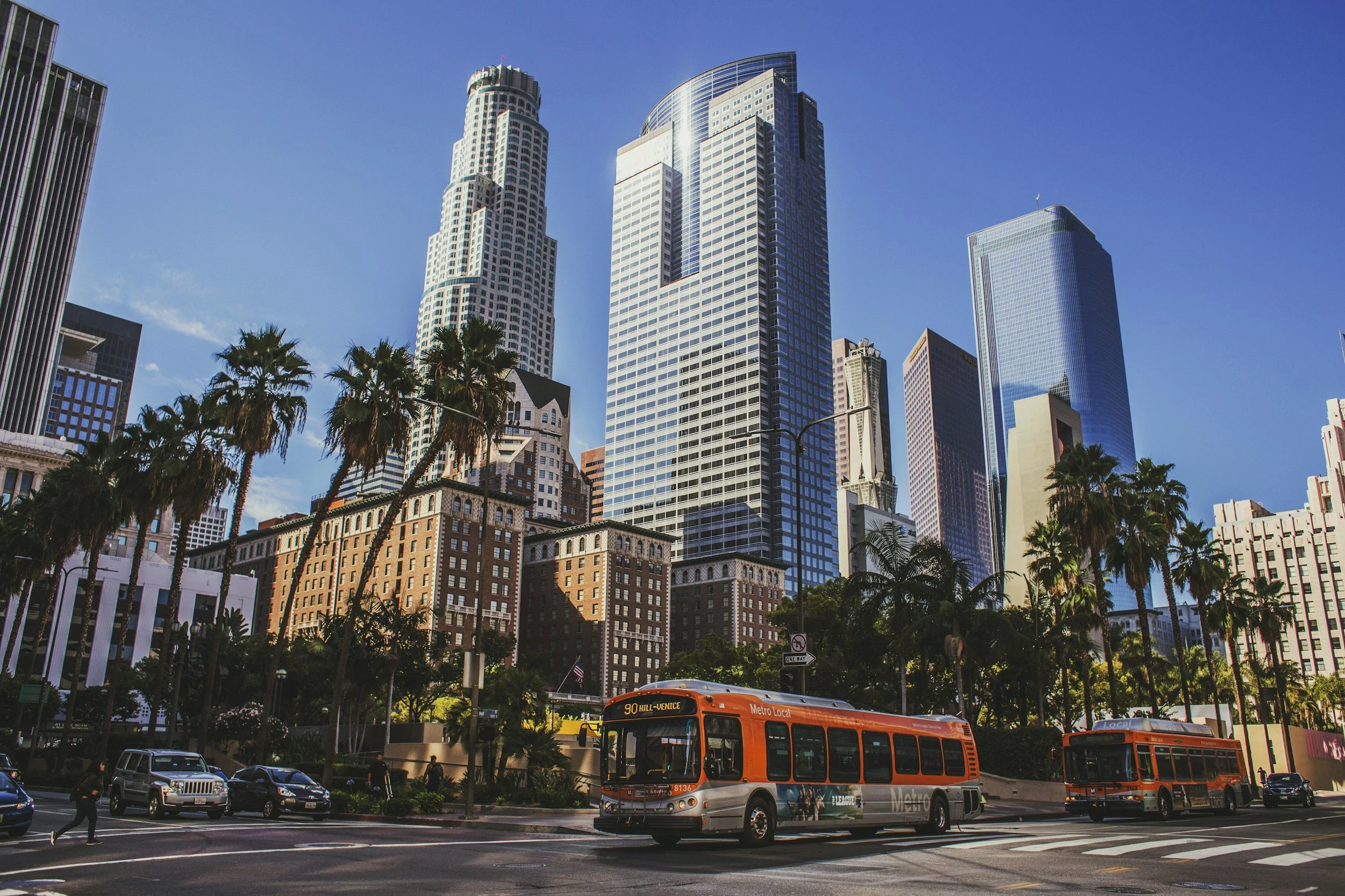
‘Los Angeles, ‘City of Angels’, is a sprawling city from downtown Bunker Hill, an area extending from the foothills to the coast, with new Century City and older Pasadena, modern Hollywood and Culver City, from Santa Monica to Santa Ana, LAX and Long Beach, with numerous other locations having their own distinctive characteristics.’