IST
‘The City on Seven Hills.’


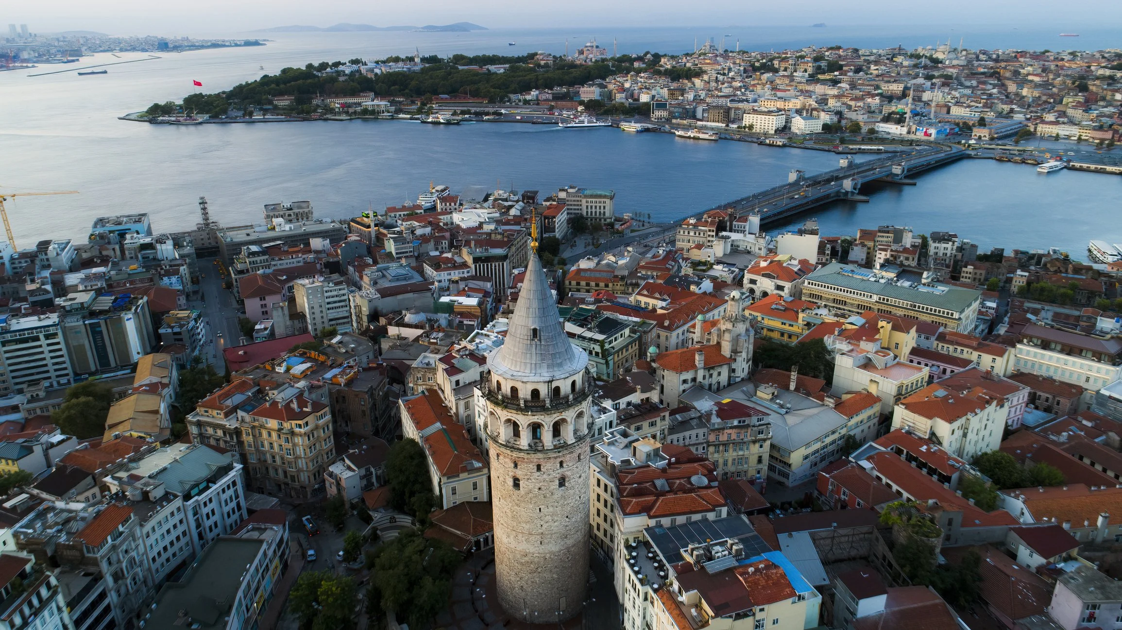
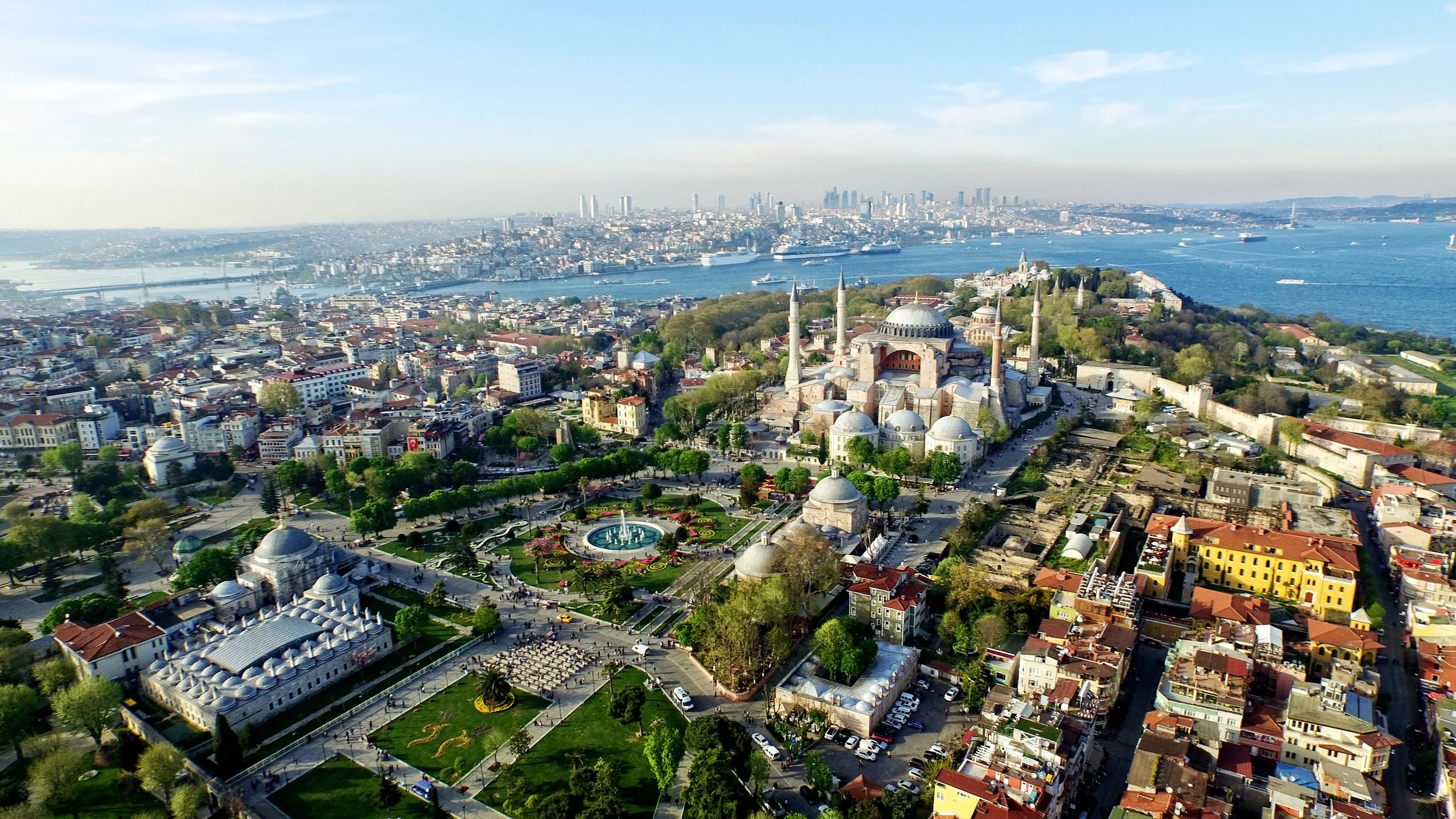
Istanbul is sited straddling the Bosphorus, at the meeting of the European and Asian continents.
With its imposing location as can be seen from the Galata Tower, the city is now connected by three new bridges and two tunnels across the Bosphorus.
As capital of Türkiye, with its Ancient, Byzantine and Ottoman history, its increasing urbanisation has led to significant density of development creating dual poles on either side of the strategic waterway to the Black Sea.

Maps of Istanbul
Overview
Streets and Networks
Satellite View
All maps above provided courtesy of Google Maps.
Population Density
Visualising population density in Global Cities
This interactive map shows population density in 2020, measured in residents per square kilometre.
The data is from the ‘Global Human Settlement Layer’ (GHSL) 2023, produced by the European Commission JRC and the ‘Center for International Earth Science Information Network’ at Columbia University using earth sensing data from the European Copernicus Space Program that Integrates high volumes of satellite data with national census data.
The GHSL describes the settlement geography of the entire globe and has applications for a wide range of research and policy issues related to urban growth, development and sustainability.
Map provided courtesy of LuminoCity3D.org.
Rail Networks
Rail and transport networks in Global Cities
The above map represents the urban metro and light rail network of the city and immediate suburbs. This shows individual rail routes and the level of connectivity for urban travellers across the expanding city’.
Map provided courtesy of UrbanRail.net.
Journals
4. Istanbul + extract (Orhan Pamuk)

‘The city of Istanbul has evolved over many generations with its deeply historical past as Byzantium and Constantinople through to its current status as capital of the Republic of Türkiye. At the intersection of the continental plates of Europe and Asia, its distinctive geography is evident on either side of the Bosphorus waterway that both divides and unites the city.’