COP
‘København’


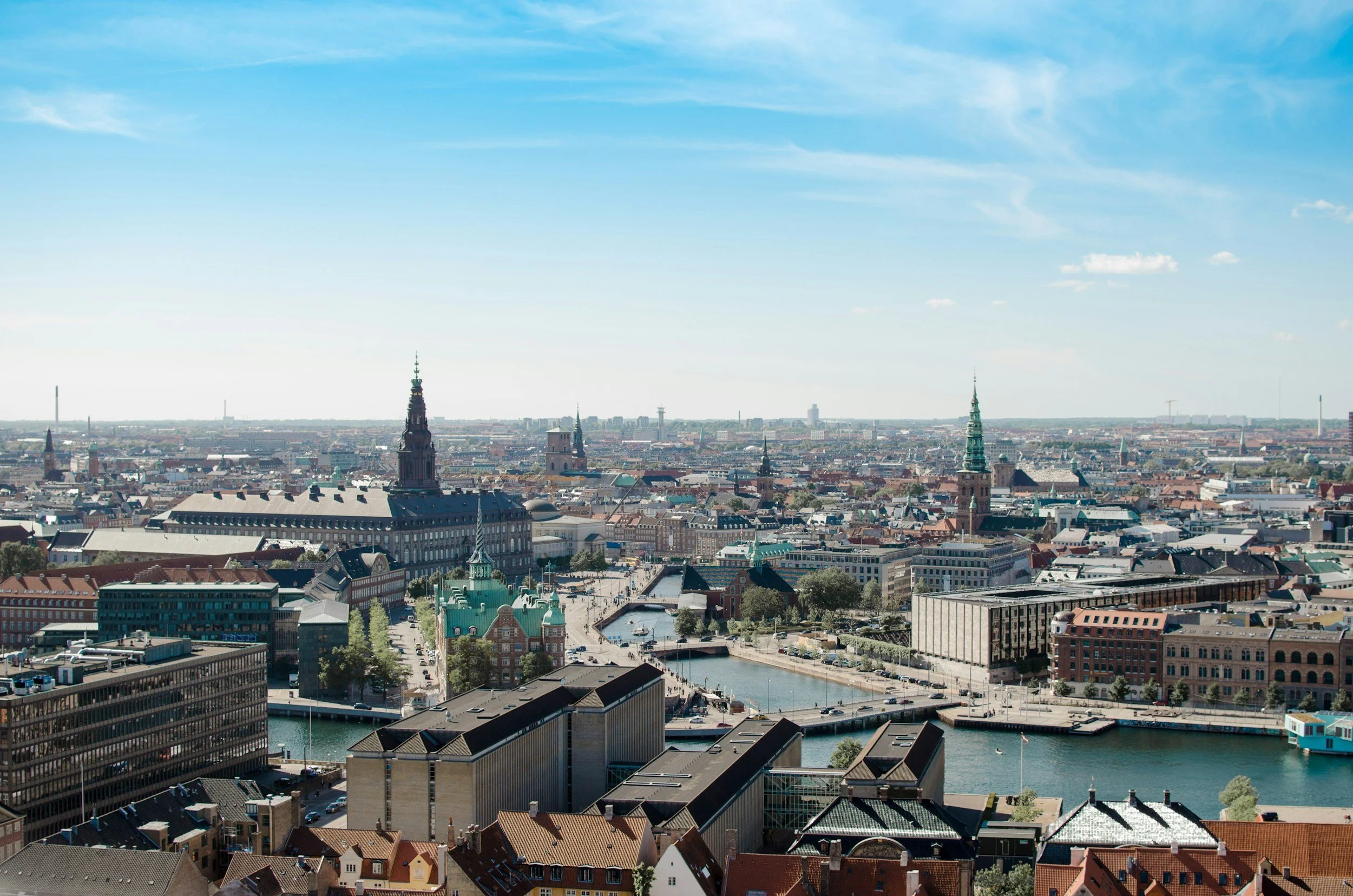
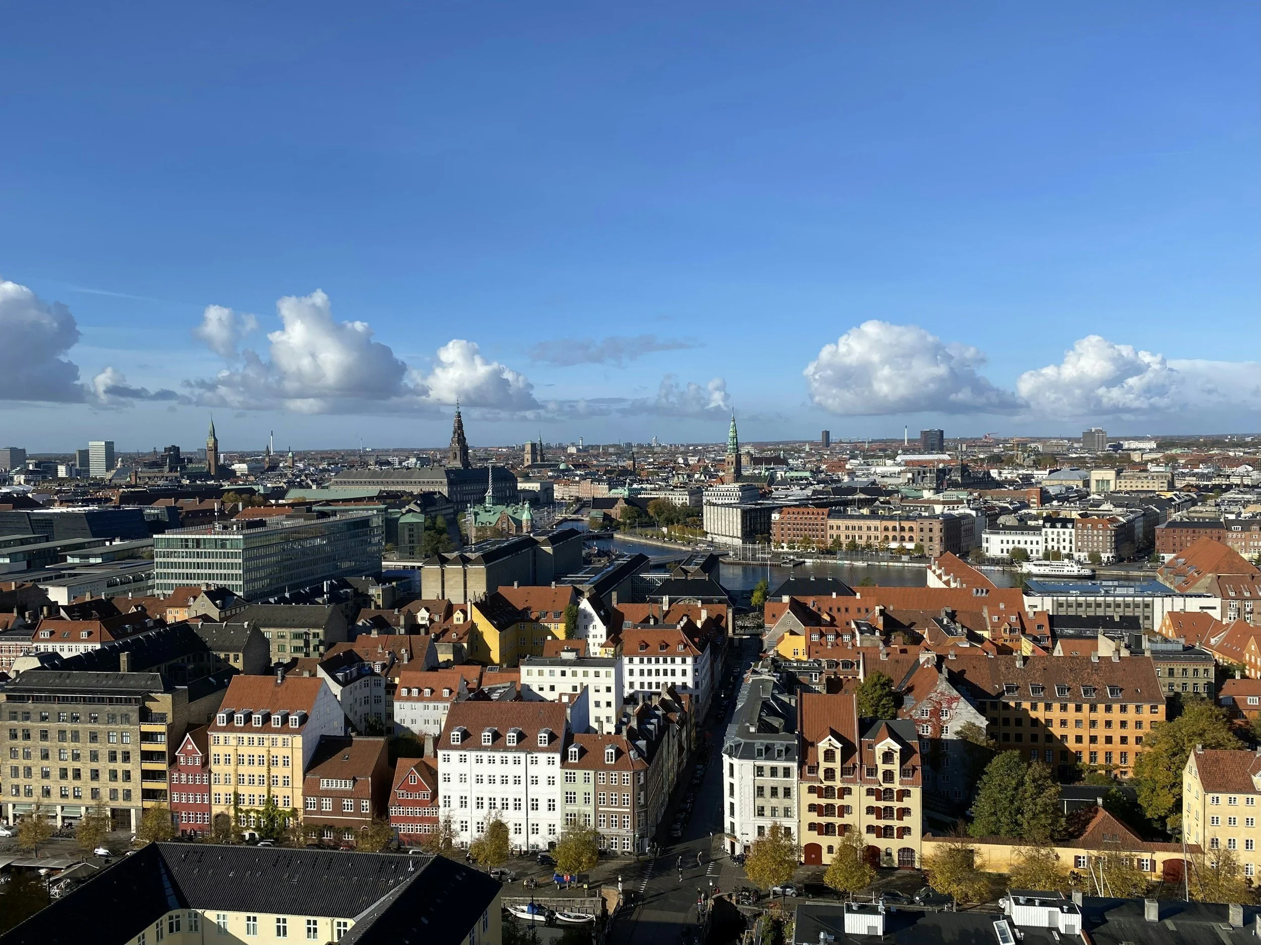
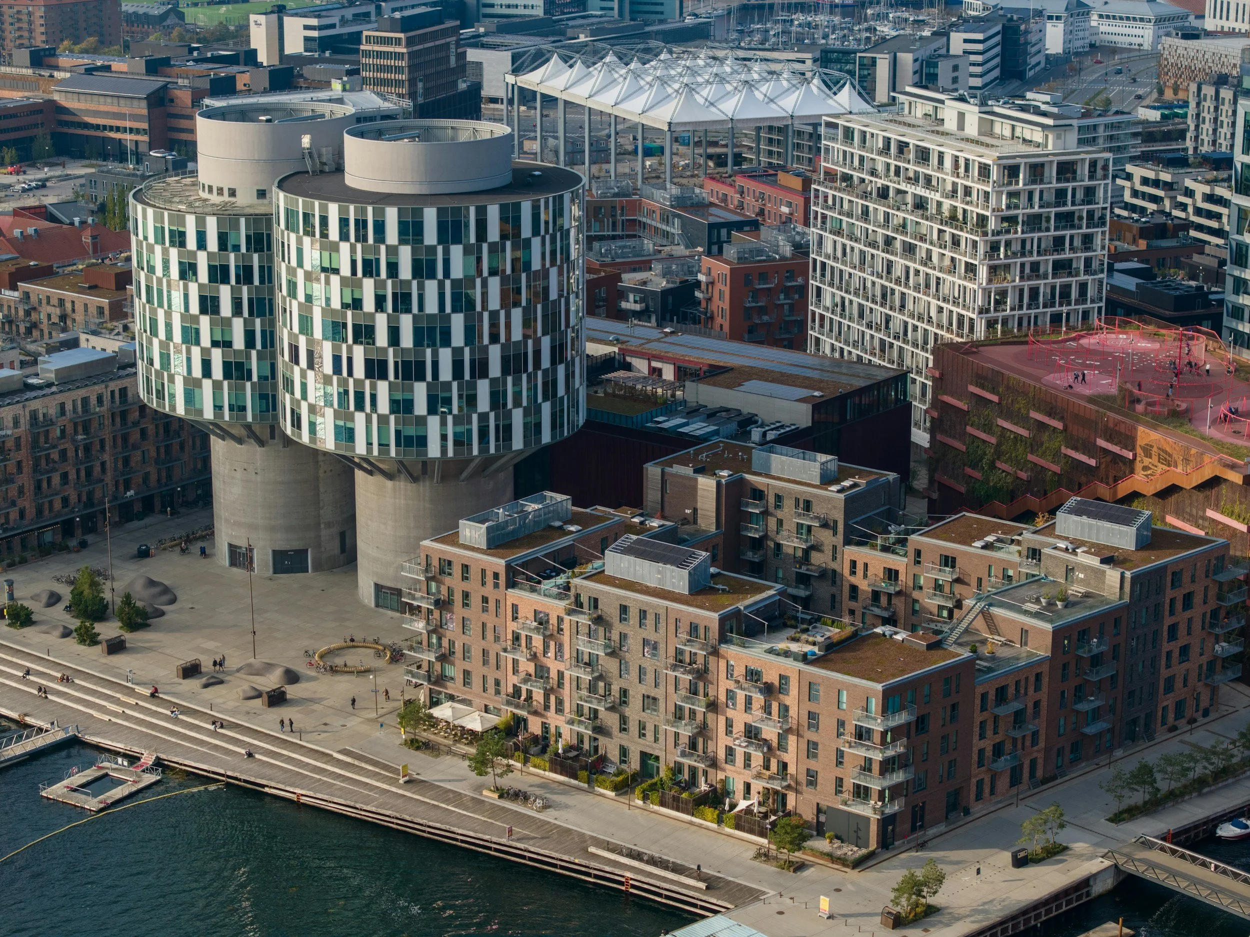
Copenhagen is sited by the Baltic Kattegat in the Sound overlooking the opposite Swedish city of Malmö.
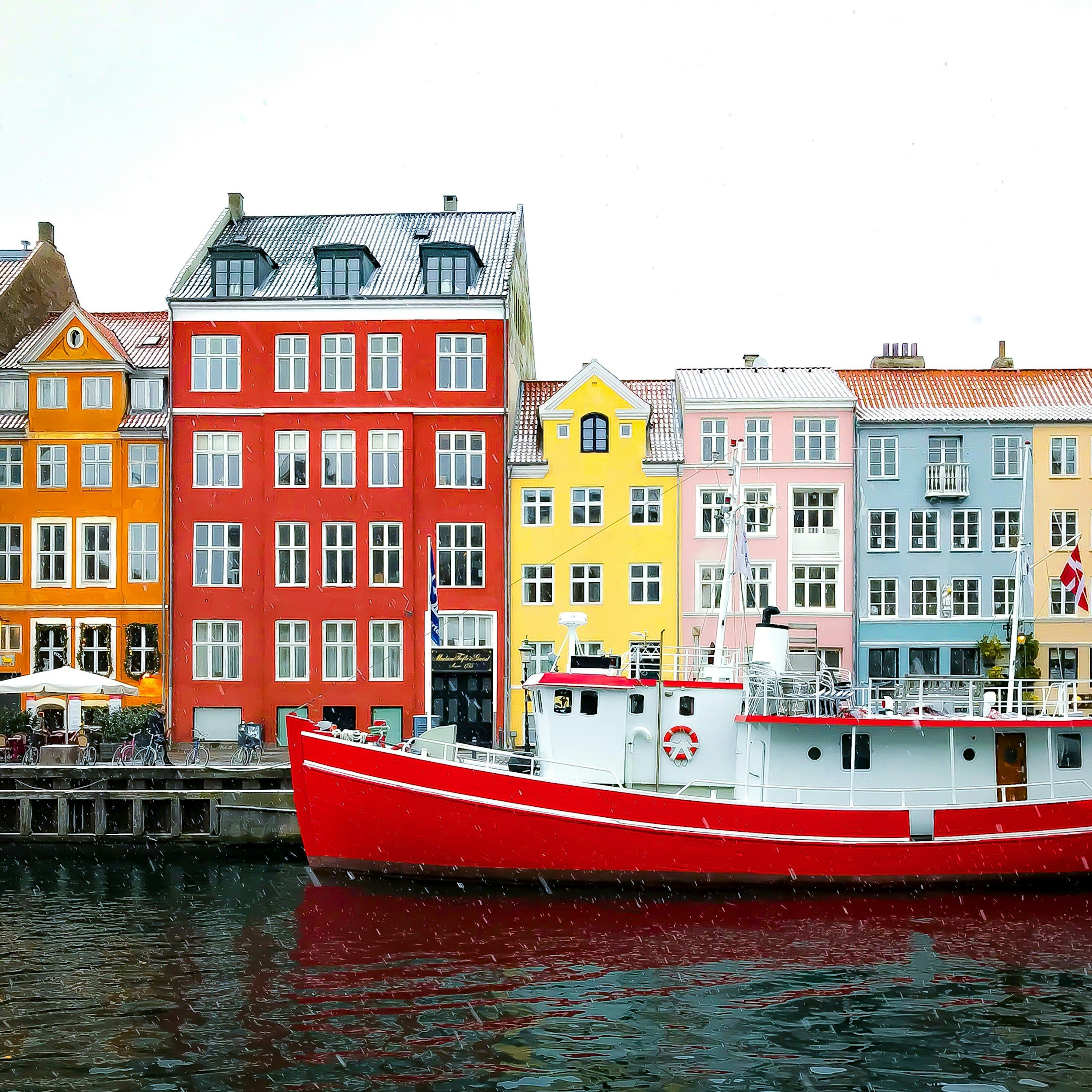
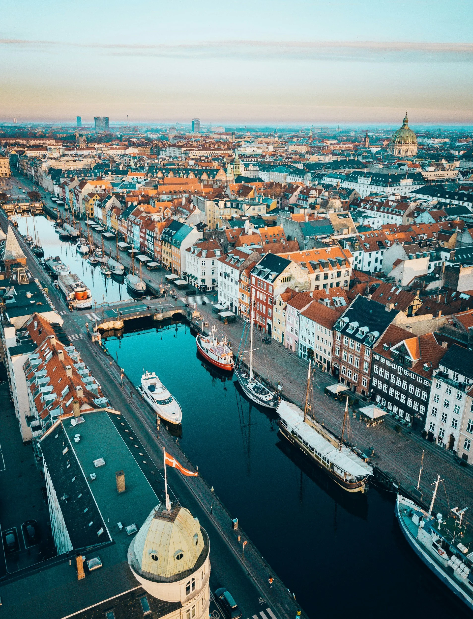
With its early fortifications and ramparts that restricted its subsequent development, it has a delightful nautical feel around its inner harbour areas of Nyhavn and Christianshavn.
The flatter area to the south-east of Amager island has served as a zone for new built extensions around the established CPH Airport and facing the Oresund crossing to Malmö in Sweden whilst the city is expanding outwards radially to the north and west under the ‘Finger Plan’.

Maps of Copenhagen
Overview
Streets and Networks
Satellite View
All maps above provided courtesy of Google Maps.
Population Density
Visualising population density in Global Cities
This interactive map shows population density in 2020, measured in residents per square kilometre.
The data is from the ‘Global Human Settlement Layer’ (GHSL) 2023, produced by the European Commission JRC and the ‘Center for International Earth Science Information Network’ at Columbia University using earth sensing data from the European Copernicus Space Program that Integrates high volumes of satellite data with national census data.
The GHSL describes the settlement geography of the entire globe and has applications for a wide range of research and policy issues related to urban growth, development and sustainability.
Map provided courtesy of LuminoCity3D.org.
Rail Networks
Rail and transport networks in Global Cities
The above map represents the urban metro and light rail network of the city and immediate suburbs. This shows individual rail routes and the level of connectivity for urban travellers across the expanding city’.
Map provided courtesy of UrbanRail.net.