CAI
‘The City of a Thousand Minarets.’


Cairo is located on the River Nile, south of the Nile Delta and Alexandria, to the west of the Suez Canal and Port Said.
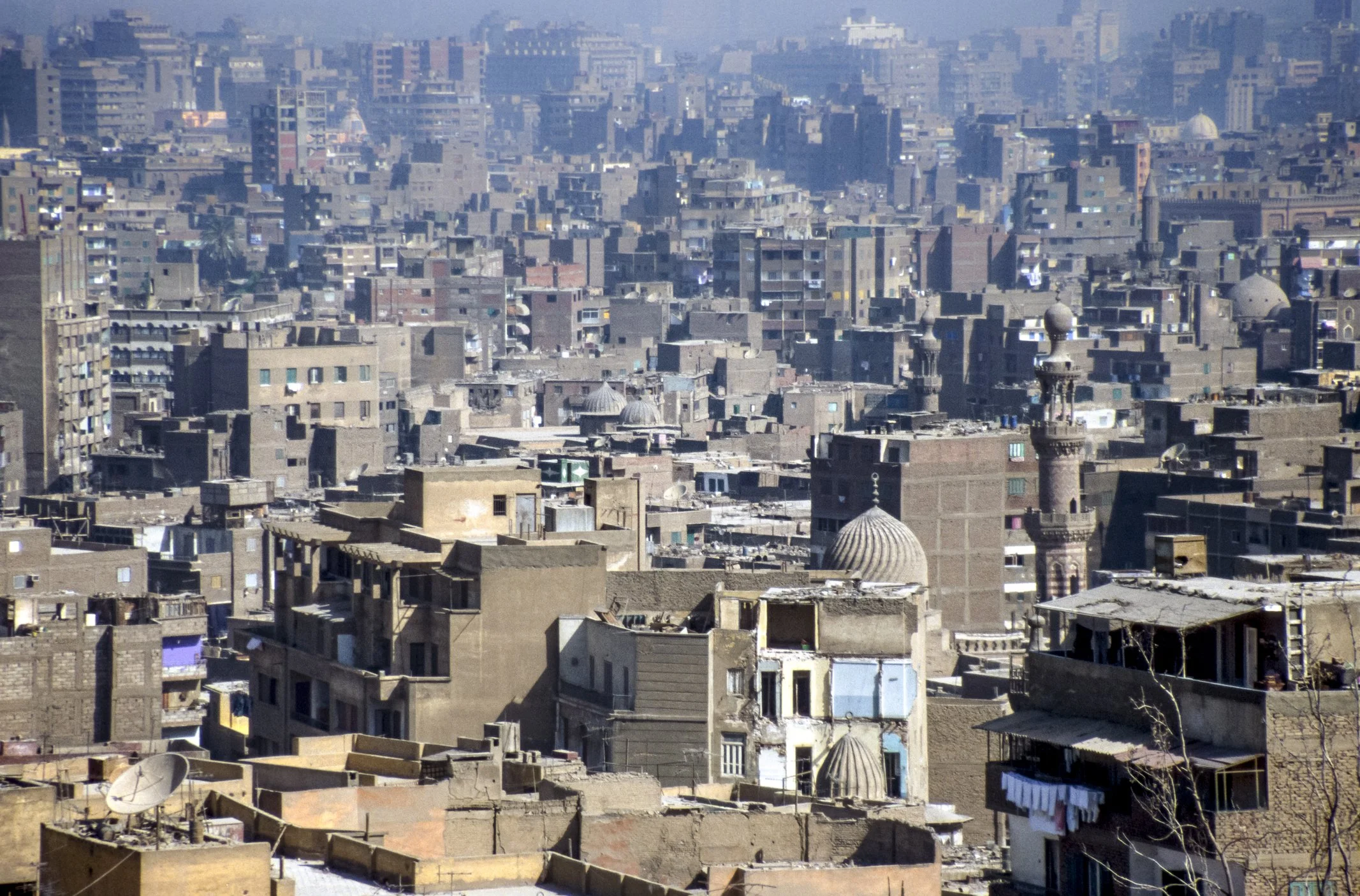
As capital of Egypt, an historic city and home of the Pyramids on the lower Nile, it has incurred significant recent development and urbanisation.
As a result, the whole Greater Cairo area is now excessively over-populated and a new administrative area of New Cairo is being planned and developed to the east of the old city.

Maps of Cairo
Overview
Streets and Networks
Satellite View
All maps above provided courtesy of Google Maps.
Population Density
Visualising population density in Global Cities
This interactive map shows population density in 2020, measured in residents per square kilometre.
The data is from the ‘Global Human Settlement Layer’ (GHSL) 2023, produced by the European Commission JRC and the ‘Center for International Earth Science Information Network’ at Columbia University using earth sensing data from the European Copernicus Space Program that Integrates high volumes of satellite data with national census data.
The GHSL describes the settlement geography of the entire globe and has applications for a wide range of research and policy issues related to urban growth, development and sustainability.
Map provided courtesy of LuminoCity3D.org.
Rail Networks
Rail and transport networks in Global Cities
The above map represents the urban metro and light rail network of the city and immediate suburbs. This shows individual rail routes and the level of connectivity for urban travellers across the expanding city’.
Map provided courtesy of UrbanRail.net.
Journals
16. Cairo + extract (George A. Hoskins & Shlomo Angel)

‘With its early origins not far from the ancient pyramids, Cairo was founded as a fortified camp first known as Al-Fustat. A new dynasty created a new capital of Al-Qahira, which has evolved as new empires have ebbed and waned and to fall under the Ottoman Turks during the 16th century.’